
Postcode-Centred Local Area Study Map 1870 – 19th Century Historical Geography Map – 100 x 100cm Mounted Foamex Board
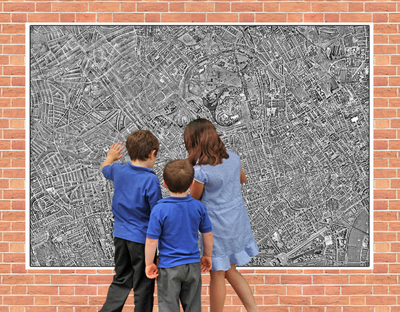
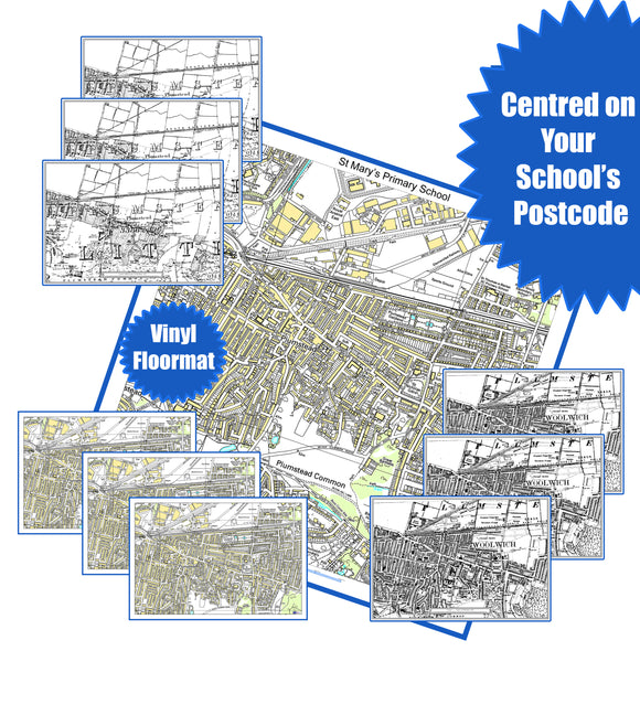
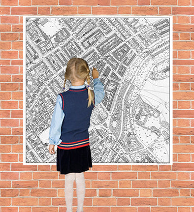
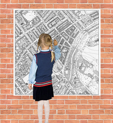
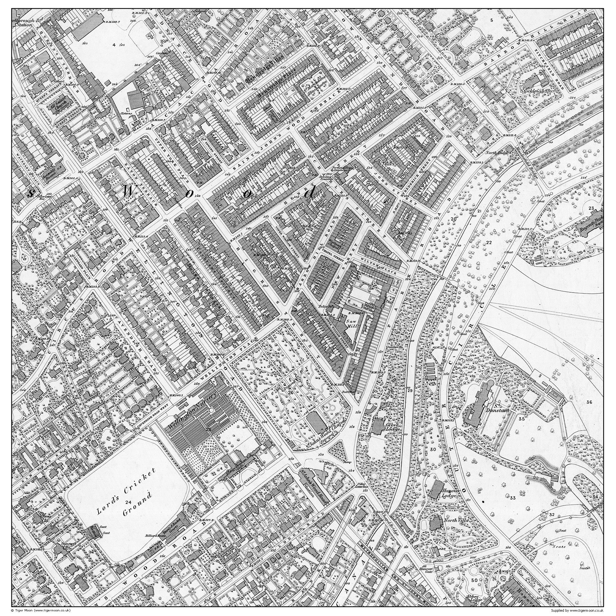
Bring local history and Geography to life with this 19th-century local area study map from 1870, centred on your school postcode.
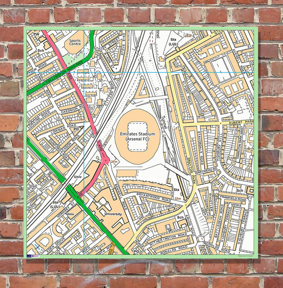
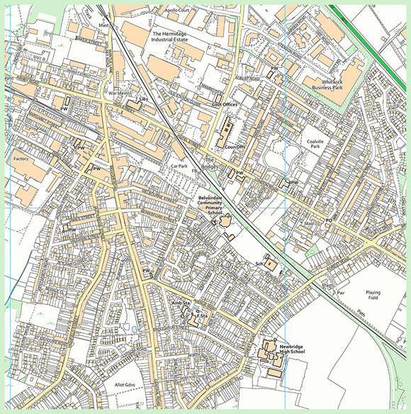
The map provides a fascinating record of the local area as it appeared approximately 150 years ago, allowing pupils to compare the historic landscape with their surroundings today. Covering an area of 1km x 1km centred on your school postcode, it is an engaging resource for exploring the human and physical features of the local environment.
Ideal for supporting Geography lessons, local area studies, fieldwork and observational activities, the map can be used by teachers to create bespoke lessons based around the school's own local area.
Product Features:
- Historical 19th-century map from 1870
- Centred on your school postcode
- Covers an area of approximately 1km x 1km
- Supports local area Geography studies
- Helps pupils identify and explore human and physical features
- Useful for fieldwork and observational skills
- Ideal for classroom displays and educational activities
- Size: 100cm x 100cm
- Printed onto 3mm Foamex PVC board
- Supplied as a durable mounted board
Postcode Information
When ordering, we will use the postcode on your delivery address to create the postcode-centred map.
If you would like the map centred on a different postcode, please contact us by email at info@tigermoon.co.uk after placing your order and provide the required postcode.
Delivery
Please allow 7–10 working days for delivery.
A unique educational resource combining Geography, local history and fieldwork, giving pupils the opportunity to discover what their local area looked like in 1870.