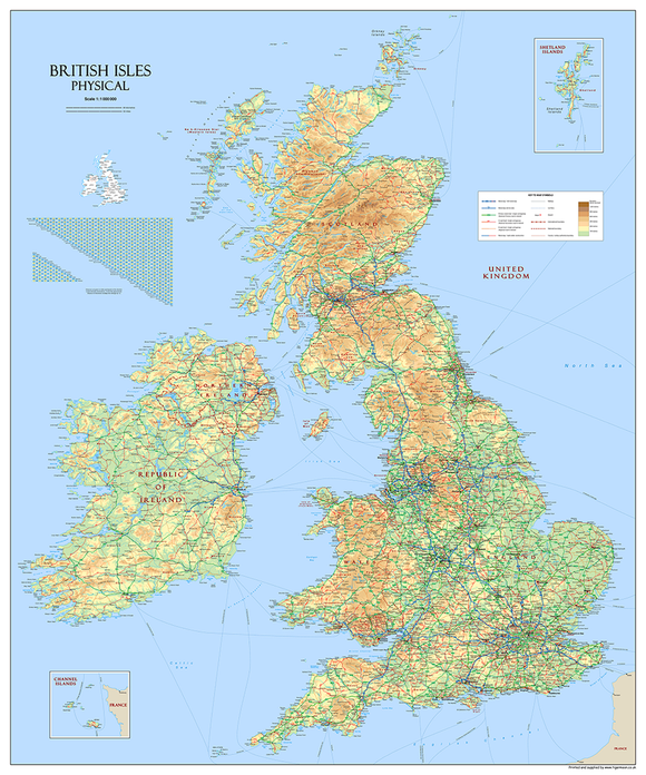
British Isles Physical Map – Detailed Relief, Mountains, Rivers, Islands & Terrain | 150 x 180cm
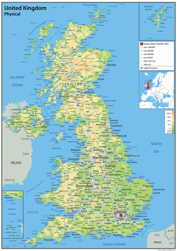
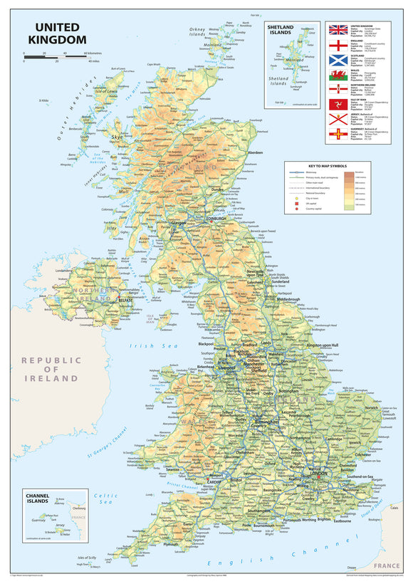
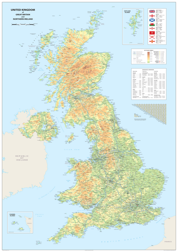
Explore the geography and terrain of the British Isles with this giant, highly detailed physical map. Using a combination of digital elevation modelling and realistic surface representation, the map provides an impressive visual depiction of the natural landscape, with approximately 80 million spot heights processed to create the hill shading.
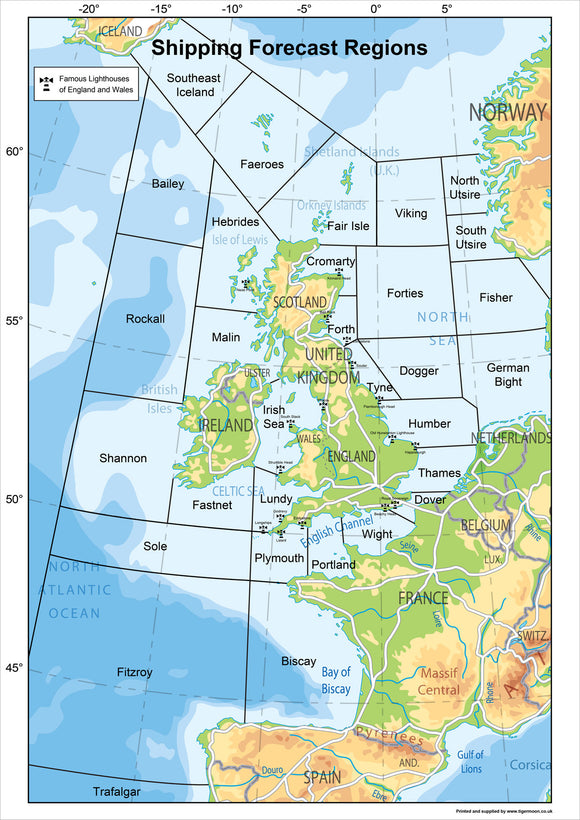
Bright and clear, this large-format map identifies major physical features including mountains, rivers, islands, capes and bays. Its generous size makes it an impressive wall display while also providing a detailed resource for geography study and reference.
Product Features
- British Isles Physical Map – detailed representation of the natural landscape
- Detailed Relief & Terrain – realistic surface representation and hill shading
- Digital Elevation Modelling – used to create detailed terrain information
- 80 Million Spot Heights – processed to create the map's distinctive hill shading
- Mountains & Rivers – identifies major physical features
- Islands, Capes & Bays – detailed geographical information
- Bright & Clear Design – easy to view and study
- Giant Wall Map – impressive large-format display
- Geography Study Resource – suitable for learning, teaching and reference
- Wall or Desk Use – suitable for display or detailed study
Product Details
- Size: 150 x 180 cm
- Map Type: Physical Map of the British Isles
- Subject: Geography, Physical Geography & Terrain
- Features: Mountains, rivers, islands, capes, bays, relief and terrain
- Design: Digital elevation modelling with realistic surface representation and hill shading
- Suitable for: Classrooms, geography departments, schools, offices, studies and home learning
- Uses: Geography lessons, physical geography study, educational displays, reference and wall décor
Material & Finish
This large-format physical map is designed as a bright, clear geographical display, providing detailed terrain information suitable for both wall display and desk-based study.