




Physical World Map – Mountains, Deserts, Tectonic Plates, Climate Zones & Rivers | A0 Laminated
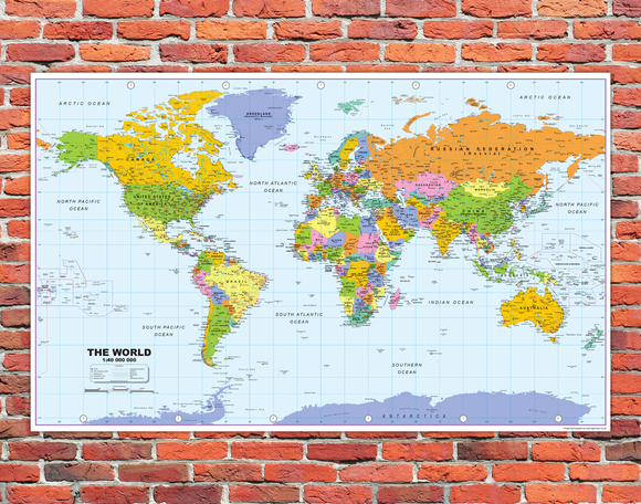
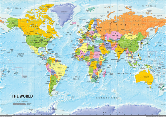
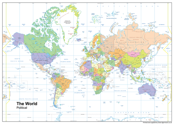
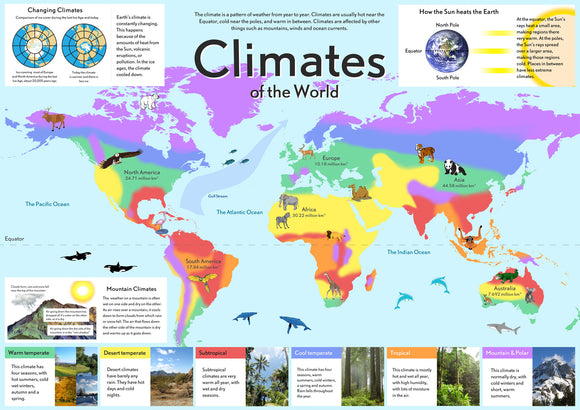
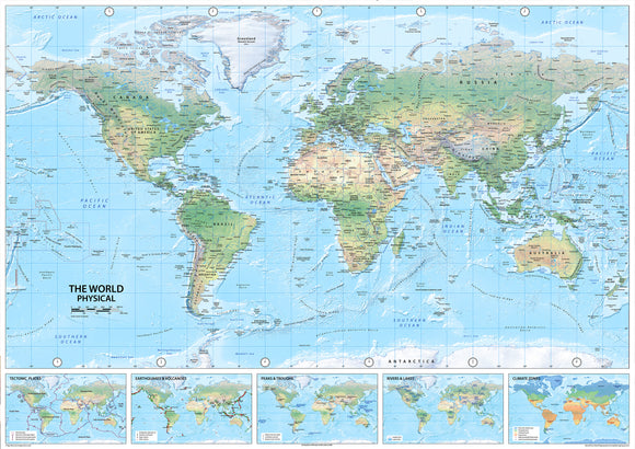
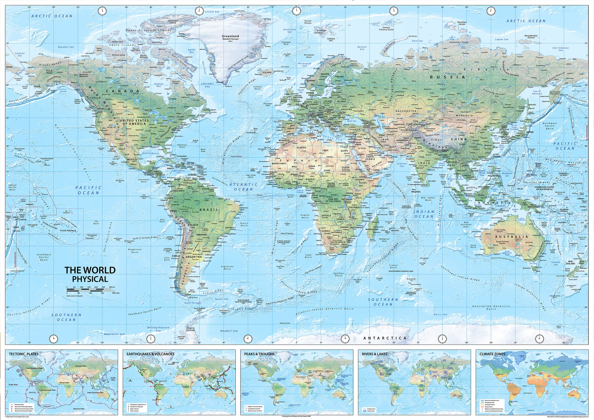
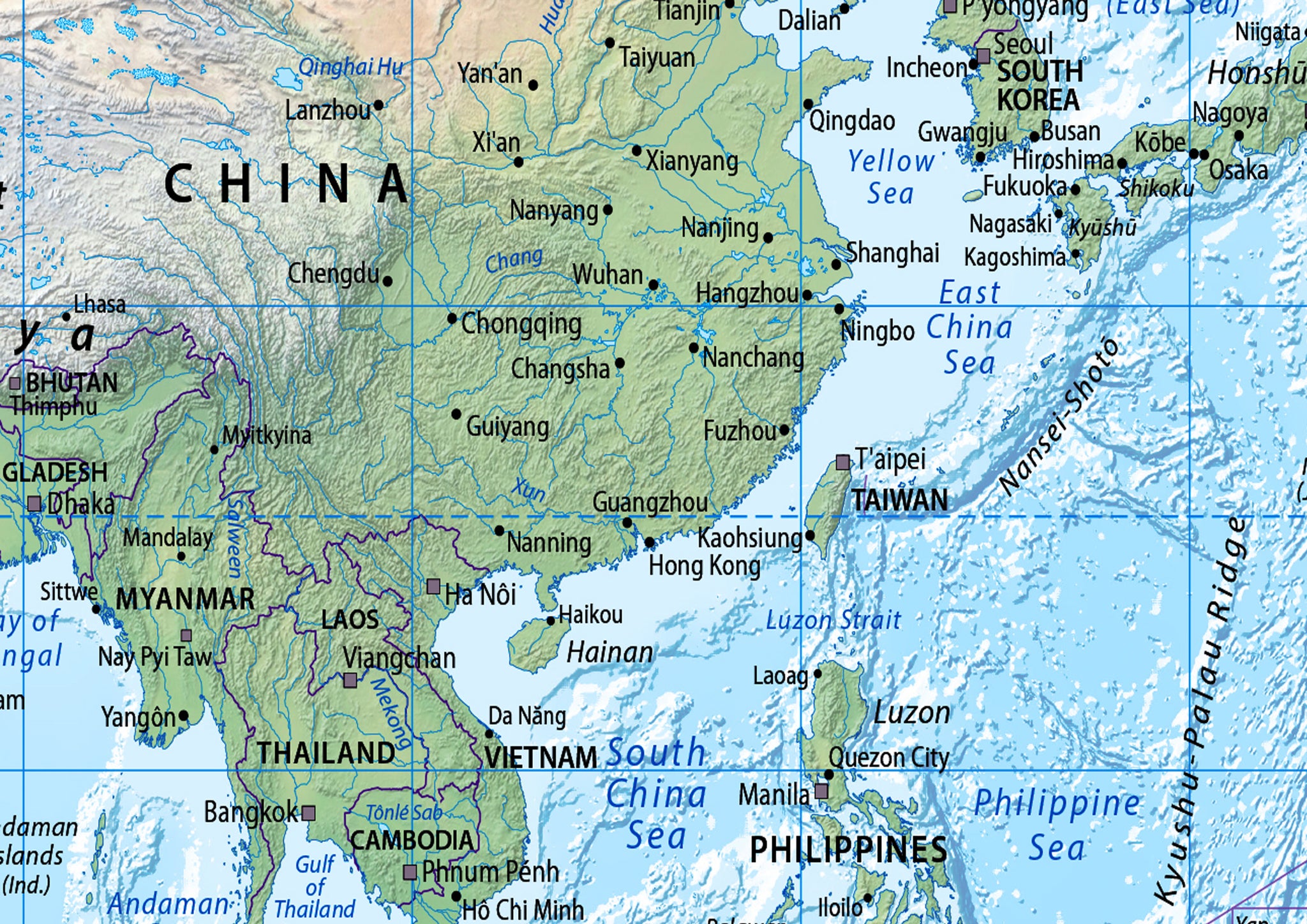
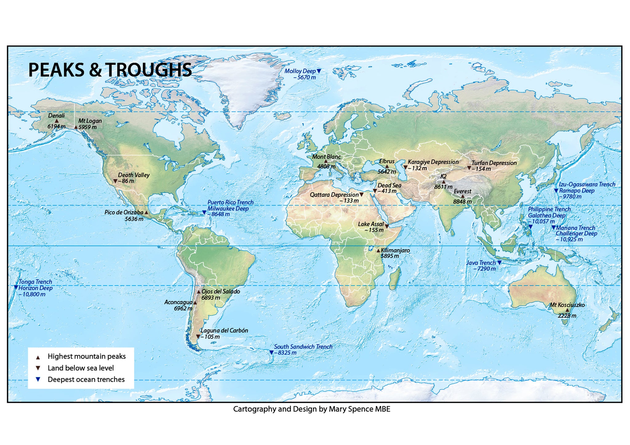
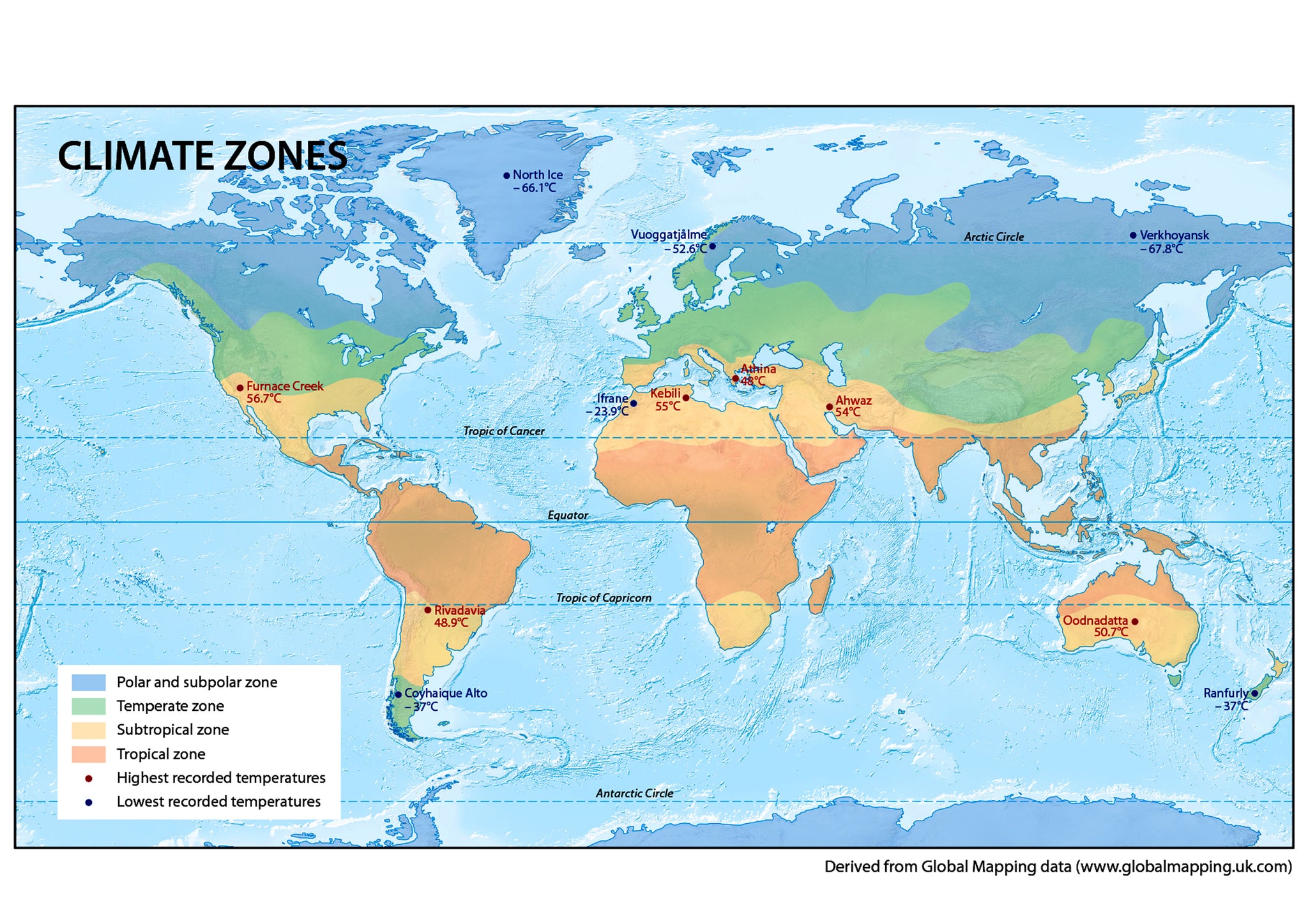
Explore the physical geography of our planet with this large Physical World Map, featuring terrain and geographical features from mountains and deserts to rivers and lakes. Beneath the main world map are five detailed smaller maps covering tectonic plate boundaries, earthquakes and volcanoes, peaks and troughs, rivers and lakes, and global climate zones.
The large A0 format makes this map an impressive centre piece for a wall and a useful educational resource for geography lessons, classrooms, offices, studies and home learning. Its detailed design also makes it an interesting talking point for anyone with an interest in geography and the natural world.
Product Features
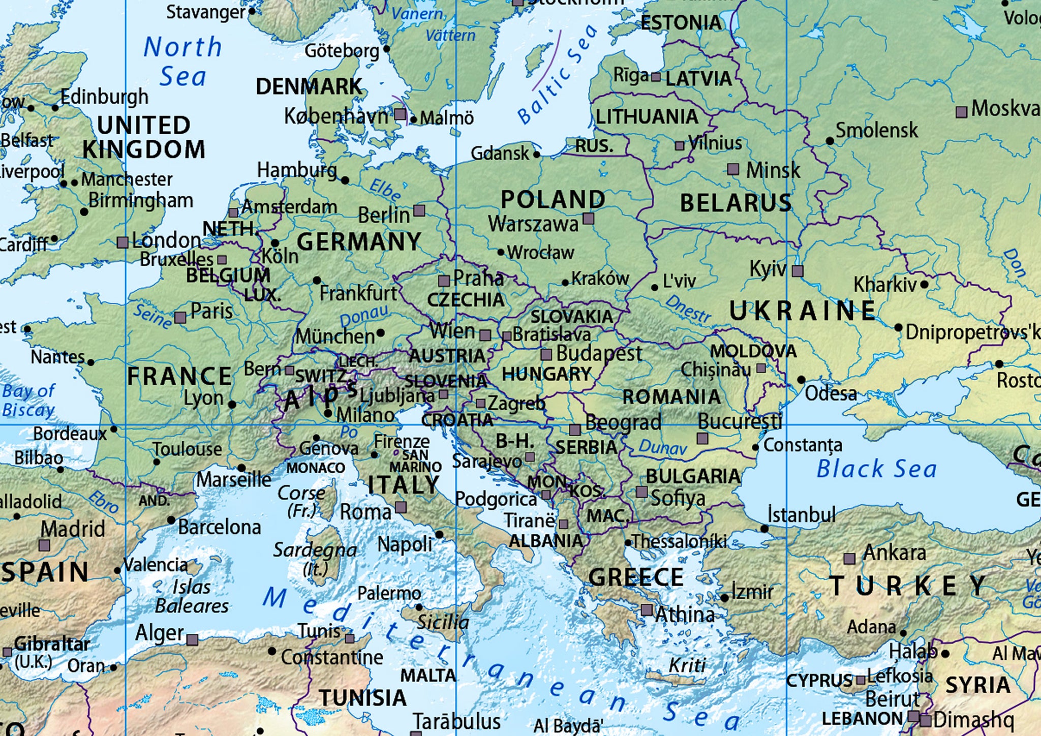
- Physical World Map – detailed overview of the world's physical geography
- Mountains & Deserts – shows major terrain features across the world
- Tectonic Plate Boundaries – dedicated map showing tectonic plates
- Earthquakes & Volcanoes – highlights locations of major geological activity
- Peaks & Troughs – explores major elevations and depressions
- Rivers & Lakes – detailed map of important waterways
- Climate Zones – shows the world's major climate zones
- Large A0 Display – impressive size for classroom and wall displays
- Educational Geography Resource – useful for geography learning and reference
- Eye-Catching Wall Display – detailed design makes a striking centre piece
Product Details
- Size: A0 – W: 118 cm x H: 84 cm
- Design: Physical World Map with five supporting geographical maps
- Subject: Physical Geography & World Studies
- Features: Terrain, mountains, deserts, tectonic plates, earthquakes, volcanoes, peaks, troughs, rivers, lakes and climate zones
- Suitable for: Classrooms, schools, geography departments, offices, studies and home learning
- Uses: Geography lessons, educational displays, revision, reference and wall décor
Material & Finish
Printed onto high-quality paper and finished with a durable laminate for a practical and long-lasting display. The laminated finish helps protect the map while making it suitable for regular use as an educational reference.