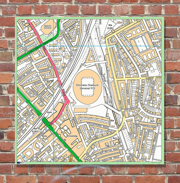
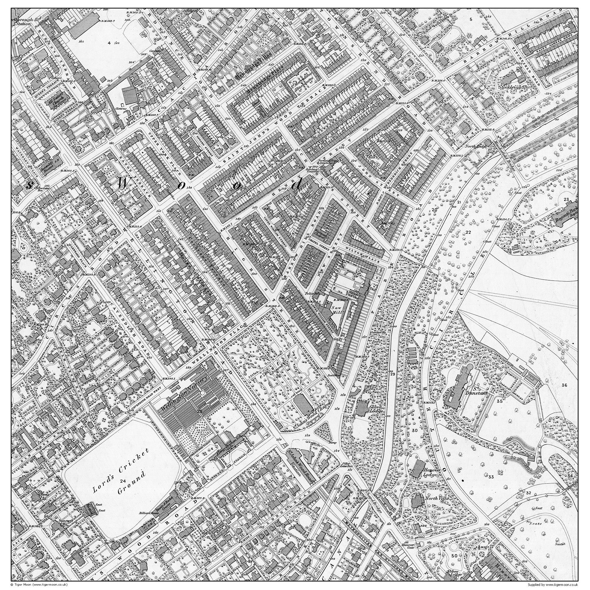
Postcode Centred - Local Area Study Map - 19th century Historical - Year 1870 - 100 x 100cm Mounted Board
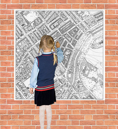
Supporting learning in Geography , this map enables teachers to plan bespoke lessons for their school based on their local area. Introducing pupils to the key human and physical features of their surrounding environment whilst developing key fieldwork and observational skills.
This local area study map is from 1870, and it is a record of your school post code area 150 years ago. The map covers an area of 1km x 1km centred on your school postcode.
Size: 100cm x 100cm printed onto 3mm foamex PVC board
Please allow up to 7-10 working days for delivery
Please note: When purchasing your aerial product from us we will use the postcode on your delivery address for the aerial image. If you would prefer to use a different postcode then please contact us by email to info@tigermoon.co.uk once you have placed your order.