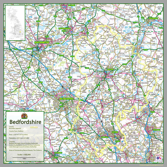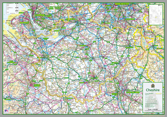


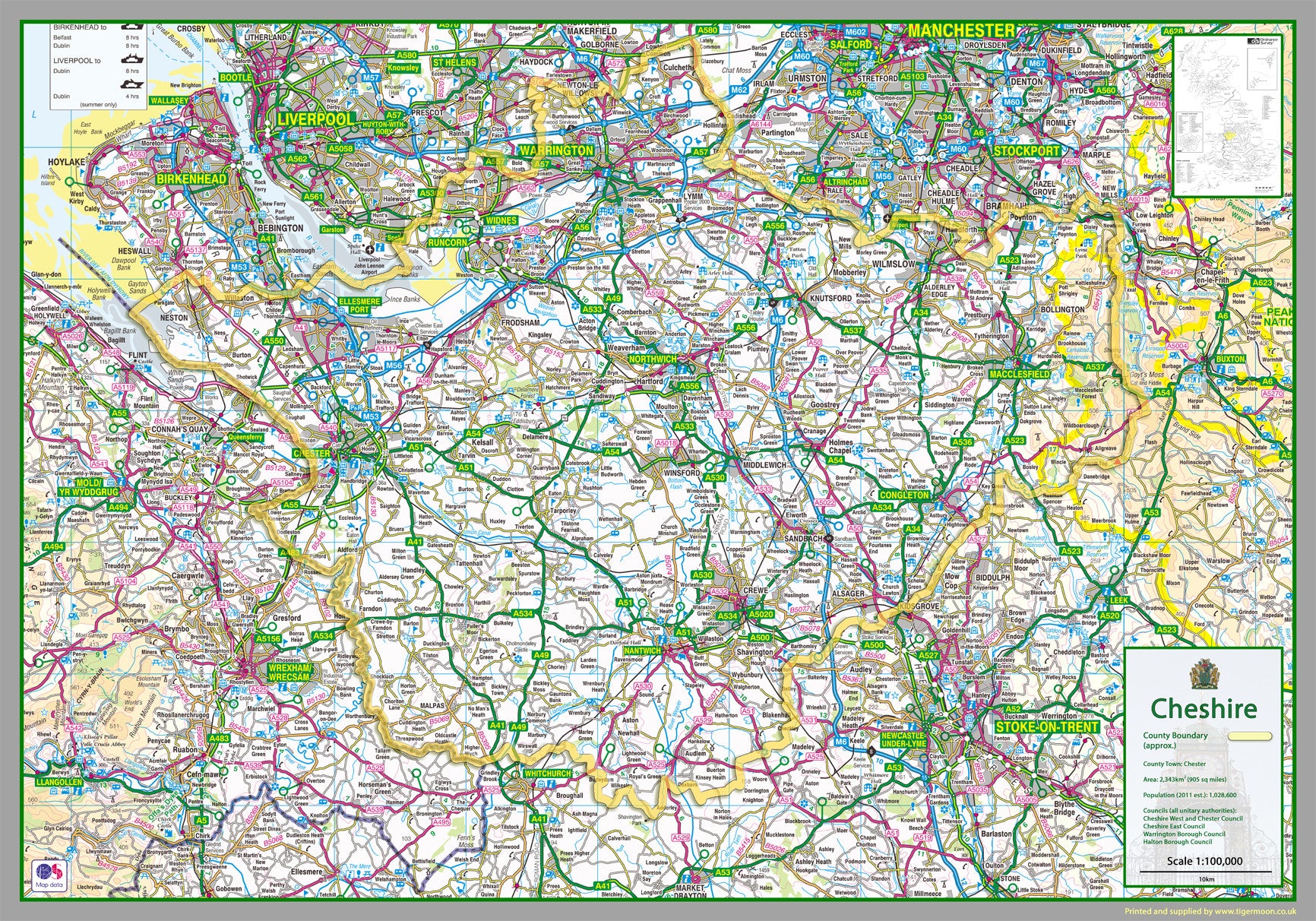
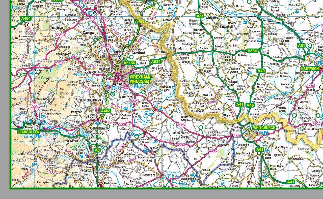
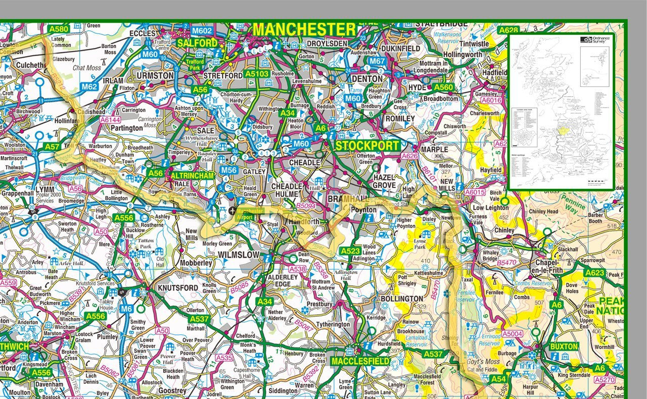
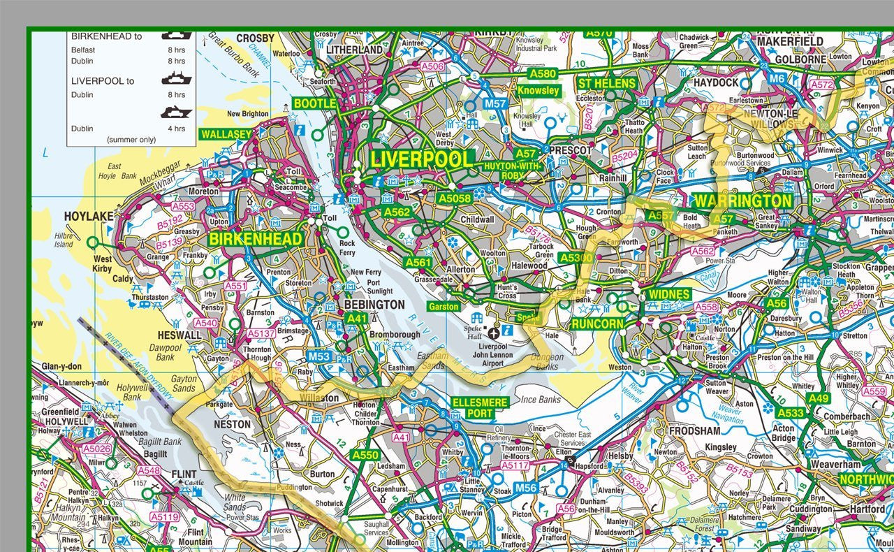
Cheshire County Map
Tax included.
1:100,000 detailed map of Cheshire, a county in England, UK.
This map covers the City of Chester and towns:
- Sandbach
- Widnes
- Warrington
- Alderley Edge
- Alsager
- Bollington
- Crewe
- Congleton
- Handforth
- Knutsford
- Macclesfield
- Middlewich
- Nantwich
- Poynton
- Wilmslow
- Ellesmere Port
- Frodsham
- Malpas
- Neston
- Northwich
- Saltney
- Tarporley
- Tarvin
- Winsford
- Runcorn
- Warrington
- Birchwood
- Culcheth
- Grappenhall
- Lymm
and the Boroughs of:
- Cheshire East
- Cheshire West & Chester
- Halton
- Warrington
Paper laminated map - 2 sizes available.
The map features the county boundary, roads, railways, land features, water features and tourist information.