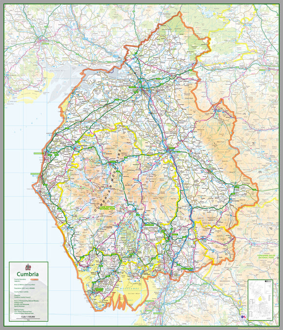


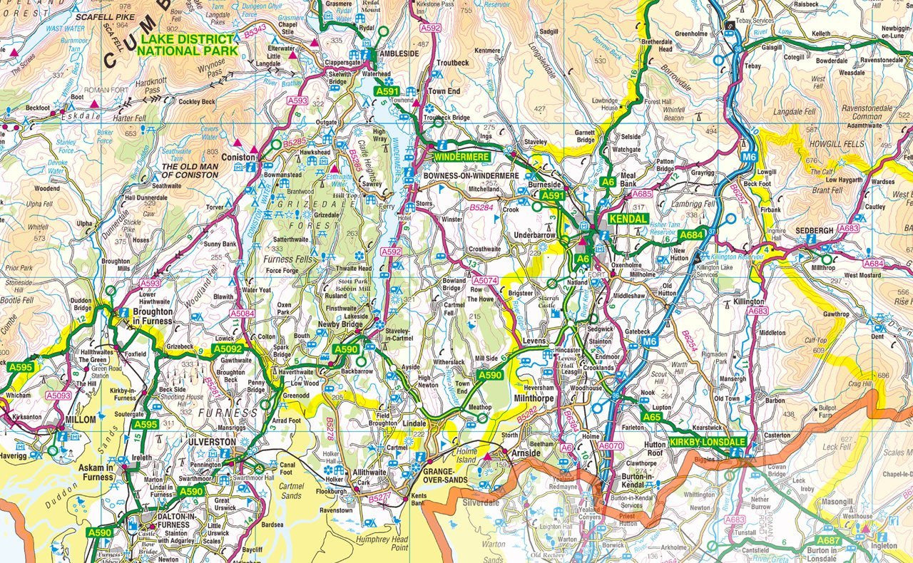

Cumbria County Map
Tax included.
1:100,000 detailed map of Cumbria, a ceremonial and non-metropolitan county in North West England, UK. It is the third biggest county in the UK.
This map covers the city of Carlisle and towns
- Maryport
- Workington
- Whitehaven
- Penrith
- Kendal
- Ulverston
- Barrow-in-Furness
and the Districts of:
- Allerdale
- Barrow-in-Furness
- Carlisle
- Copeland
- Eden
- South Lakeland
120 x 140 cm paper laminated map
The map features the county boundary, roads, railways, land features, water features and tourist information.