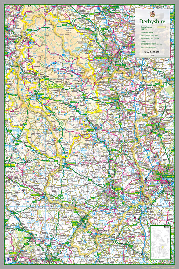


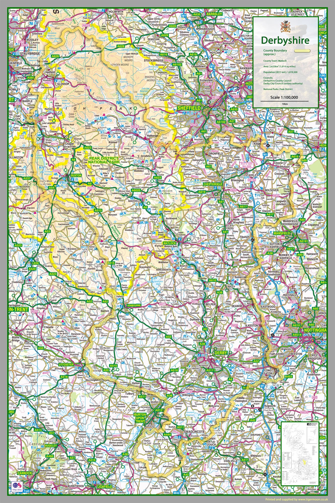

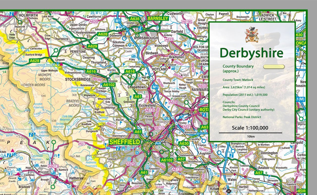


Derbyshire County Map
Tax included.
1:100,000 detailed map of Derbyshire, a county in the Midlands of England, UK.
This map covers the City of Derby and towns:
- Chesterfield
- Dronfield
- Bolsover
- Belper
- Glossop
- Buxton
- Ilkeston
- Long Eaton
- Matlock
- Swadlincote
and the Boroughs of:
- High Peak
- Derbyshire Dales
- South Derbyshire
- Erewash
- Amber Valley
- North East Derbyshire
- Chesterfield
- Bolsover
- City of Derby
70 x 105 cm paper laminated map
The map features the county boundary, roads, railways, land features, water features and tourist information.