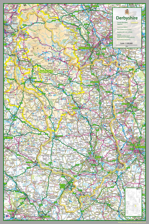


Derbyshire County Map – 1:100,000 Detailed Laminated Map | Roads, Railways, Towns & Tourist Information | 100 x 150cm
Tax included.
Explore Derbyshire in detail with this large 1:100,000 scale map of Derbyshire, covering the county and surrounding areas in the Midlands of England.
The map includes Derby and major towns across Derbyshire, making it an excellent resource for schools, offices, visitors, local studies, geography lessons, and anyone interested in exploring the county.
Areas Included
The map covers:
- Derby
- Chesterfield
- Dronfield
- Bolsover
- Belper
- Glossop
- Buxton
- Ilkeston
- Long Eaton
- Matlock
- Swadlincote
It also includes the following boroughs and districts:
- High Peak
- Derbyshire Dales
- South Derbyshire
- Erewash
- Amber Valley
- North East Derbyshire
- Chesterfield
- Bolsover
- City of Derby
Map Features
The detailed map includes:
- County boundaries
- Roads and transport routes
- Railways
- Land features
- Water features
- Towns and settlements
- Tourist information and attractions
Product Details
- Scale: 1:100,000
- Size: approximately 100 x 150cm
- Material: High-quality paper
- Finish: Durable gloss laminate
- Large format for easy viewing
- Suitable for educational, display, reference, and planning purposes
A detailed and informative map of Derbyshire, ideal for classrooms, geography departments, offices, visitor centres, libraries, and home use.