



United Kingdom Wall Map – A1 Laminated UK Political & Road Map for Classrooms, Schools & Home Learning
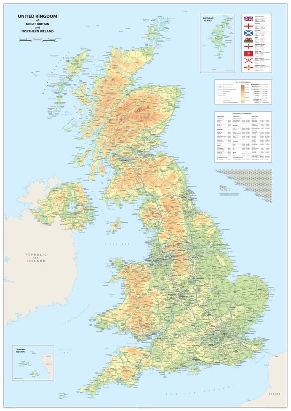
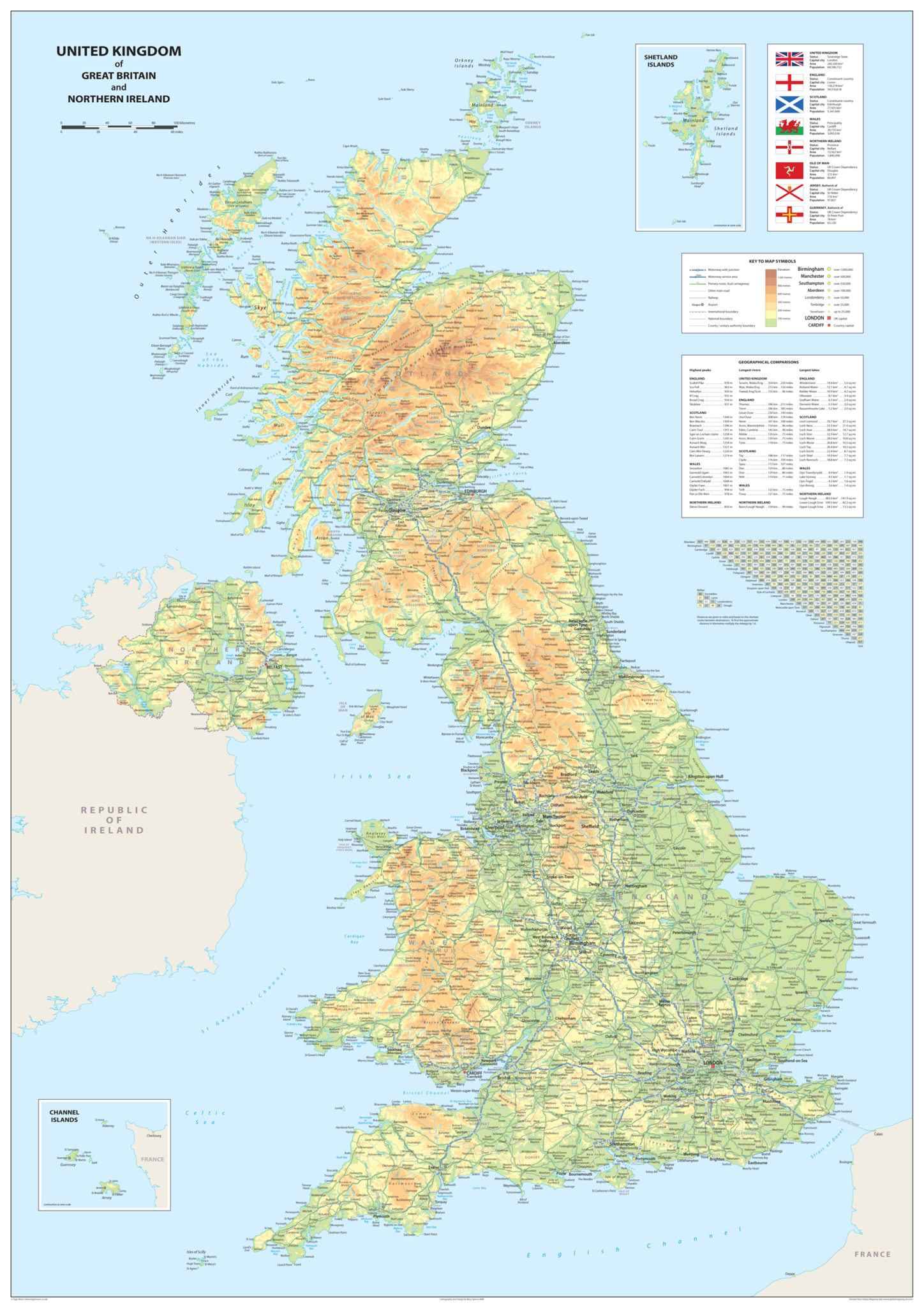
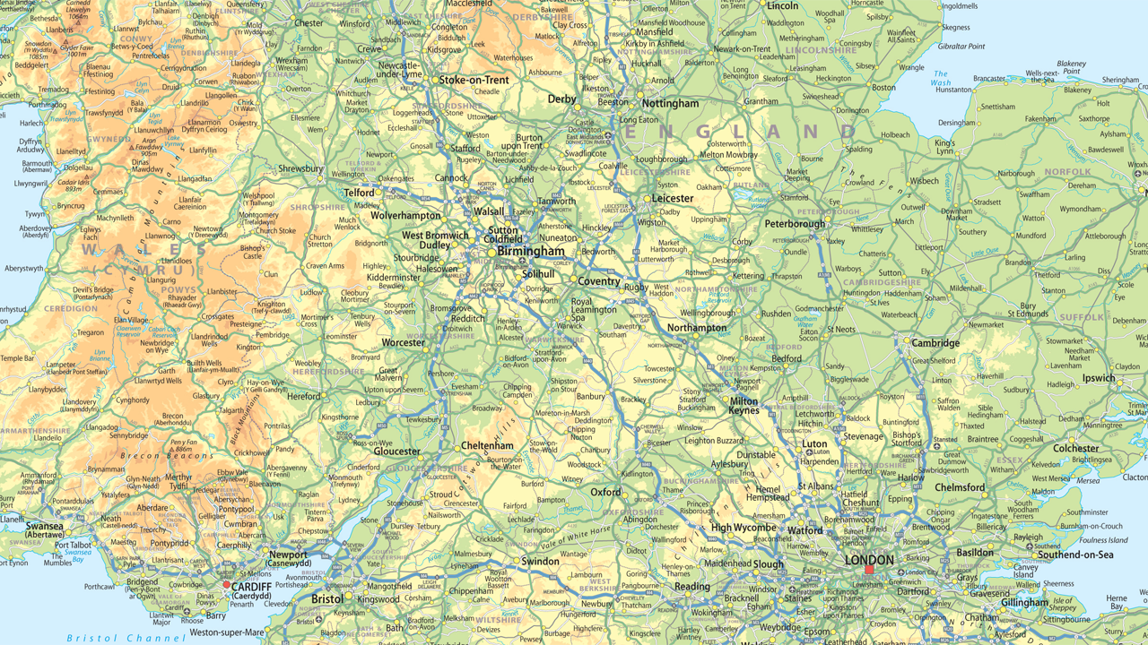
Explore the United Kingdom with this A1 Laminated United Kingdom Wall Map, a clear, colourful, and easy-to-read reference map that's perfect for classrooms, home learning, and educational displays. Designed in attractive pastel colours, it clearly identifies countries, major cities, towns, motorways, and key road networks, making it an excellent resource for teaching geography and developing map-reading skills.
Ideal for schools, nurseries, libraries, offices, and home study spaces, this versatile map supports a wide range of geography topics while adding a bright, informative feature to any wall or learning area.
Printed on high-quality paper and finished with a durable gloss laminate, it's designed to withstand regular classroom use and can be wiped clean when used with dry-wipe marker pens (where suitable).
Product Features:
- A1 United Kingdom wall map (84.1 cm × 59.4 cm)
- Clear, colourful design with attractive pastel shades
- Shows the countries of the UK, major cities, towns, motorways, and principal roads
- Ideal for geography lessons, classroom displays, and home education
- Printed on premium-quality paper with a durable gloss laminated finish
- Suitable for schools, classrooms, libraries, offices, and home learning environments
- A practical educational resource for map-reading and geographical awareness