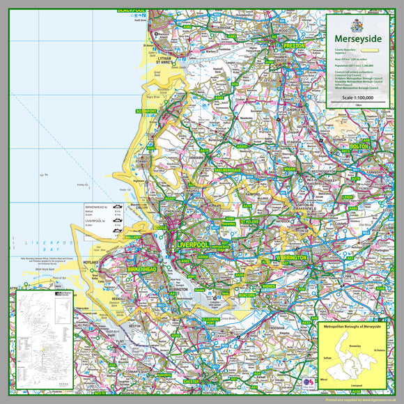


1:100,000 detailed map of Merseyside, a Metropolitan county in England, UK.
This map covers the City of Liverpool and towns:
- Liverpool
- Birkenhead
- St Helens
- Southport
- Wallasey
- Bebington
- Bootle
- Crosby
- Kirkby
- Prescot
- Heswall
- Maghull
- Formby
- Newton-le-Willows
- Halewood
- Litherland
- Haydock
- West Kirby
- Hoylake
- Garswood
- Billinge
- Rainford
and the Boroughs of:
- Knowsley
- St Helens
- Sefton
- Wirral
- City of Liverpool
75 x 75 cm paper laminated map
The map features the county boundary, roads, railways, land features, water features and tourist information.