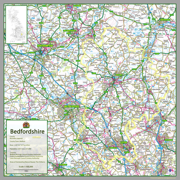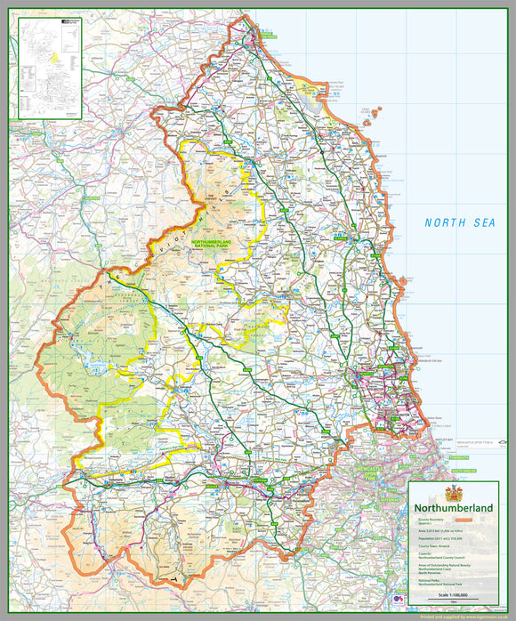


Northumberland County Map
Tax included.
1:100,000 detailed map of Northumberland, a unitary authority and historic county in the North of England, UK.
This map covers the towns of:
- Allendale Town
- Alnmouth
- Alnwick
- Amble
- Ashington
- Bamburgh
- Beadnell
- Bedlington
- Belford
- Bellingham
- Berwick-upon-Tweed
- Blyth
- Corbridge
- Cornhill-On-Tweed
- Cramlington
- Craster
- Haltwhistle
- Haydon Bridge
- Heddon-on-the-Wall
- Hexham
- Holy Island
- Morpeth
- North Sunderland
- Otterburn
- Ponteland
- Prudhoe
- Riding Mill
- Rothbury
- Seahouses
- Widdrington
- Wooler
- Wylam
and the Local Area Councils of:
- North Northumberland
- Tynedale
- Castle Morpeth
- Cramlington/Bedlington/Seaton Valley
- Ashington/Blyth
103 x 124 cm paper laminated map
The map features the county boundary, roads, railways, land features, water features and tourist information.