

Postcode Centred Ordnance Survey School Map with 20 Location Cards – 120 x 120cm Educational Map | UK Schools
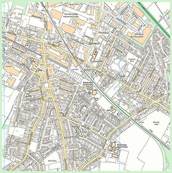
Bring your local area to life with our highly detailed Postcode Centred Ordnance Survey Map, designed specifically for schools and educational settings across the UK.
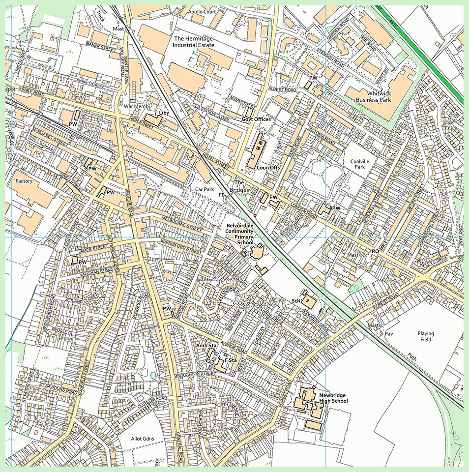
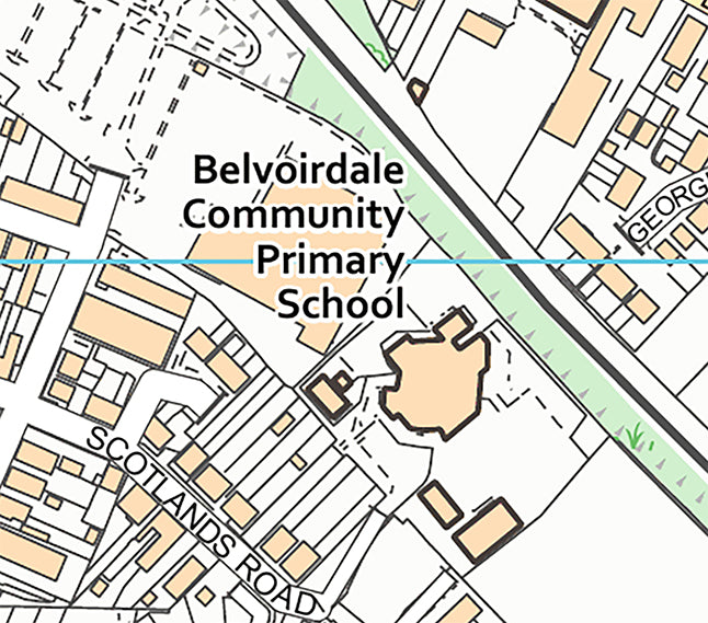
These detailed maps are available for every school in the UK and are centred on your chosen postcode. The map shows the local area in detail, including streets and individual houses within the surrounding catchment area, providing an engaging and practical resource for geography, map-reading, local area studies, and outdoor learning.
Printed onto durable, waterproof vinyl, the map is designed for repeated use and can be easily rolled up and stored in the tube supplied.
What's Included:
- 1 x Postcode-Centred Ordnance Survey Map
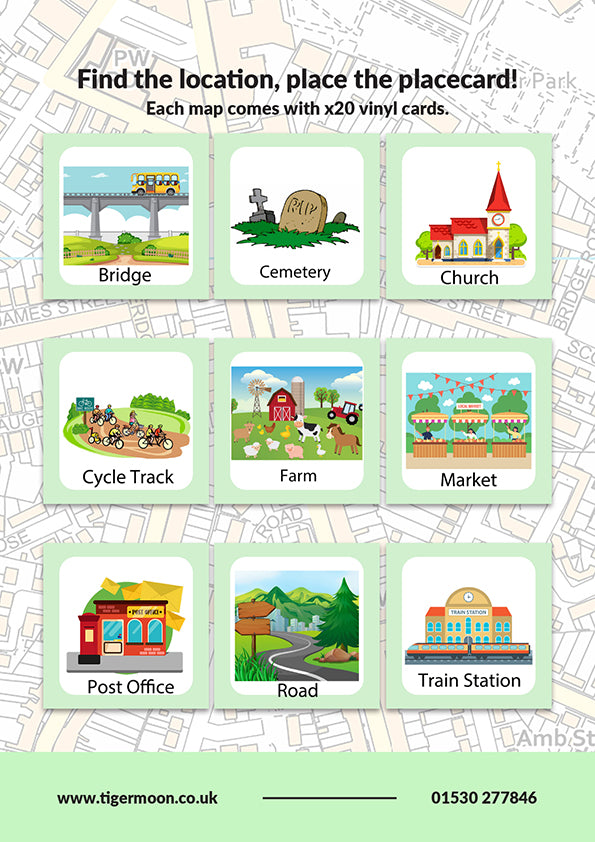
- 20 x Location Place Cards
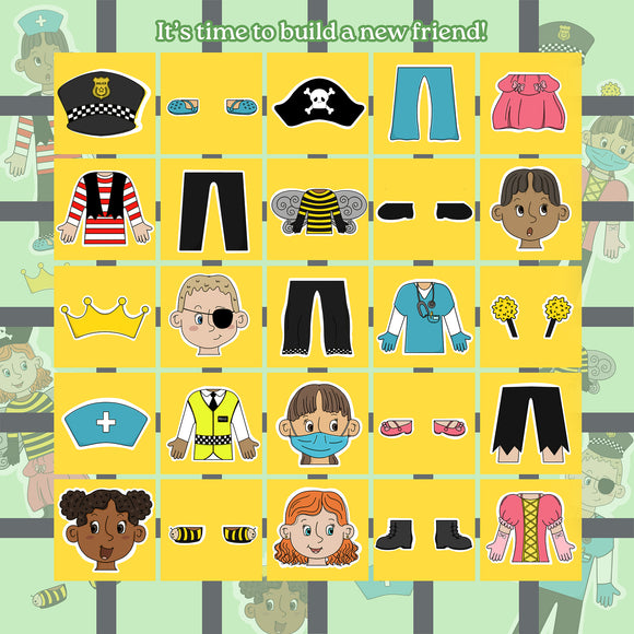
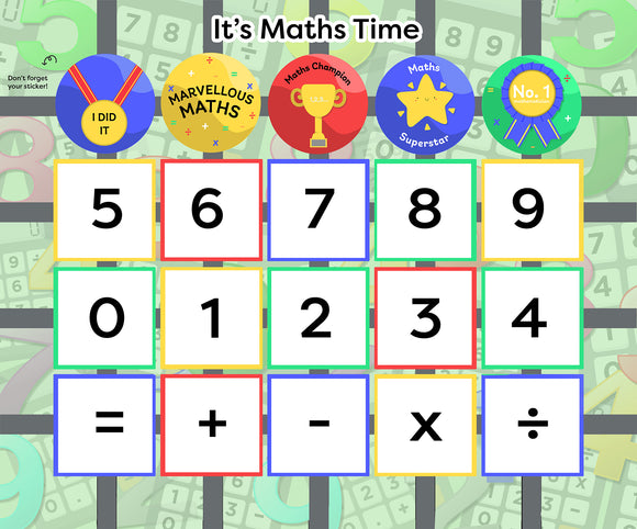
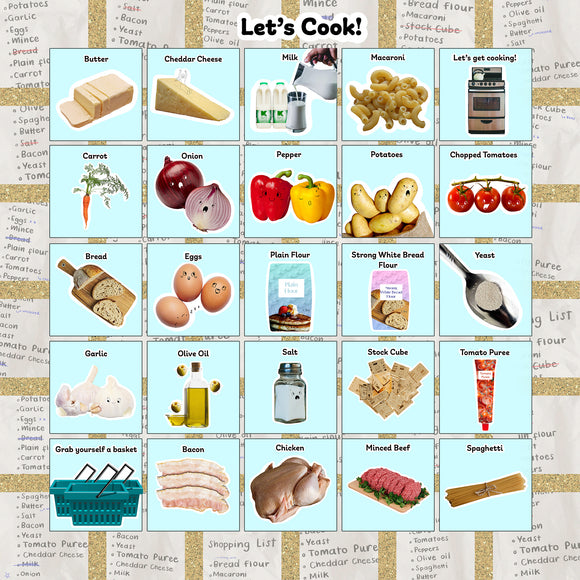
The 20 location place cards are also printed onto durable vinyl and can be placed directly onto the map. Children can use them to identify and match local landmarks, buildings, roads, and other features, making the map an interactive learning resource.
Map Details:
- Map size: 120 x 120cm
- Area covered: approximately 1.5 x 1.5km on the ground
- Postcode centred
- Includes local streets and individual properties
- Printed onto durable vinyl
- Waterproof and wipe-clean
- Rolls up for easy storage
- Supplied with 20 location place cards
- Place card size: 14.5 x 14.5cm
- Suitable for schools and educational settings across the UK
Ordering Information
When placing your order, please email your order number and the postcode you would like the map centred on to:
A fantastic resource for helping children develop map-reading skills, geographical awareness, local knowledge, and an understanding of their surrounding area through hands-on learning.