Oxford Collection Physical Map of Congo – Educational Map | Airports, Highways, Cities, Roads & Populated Areas | Laminated or Vinyl
Tax included.
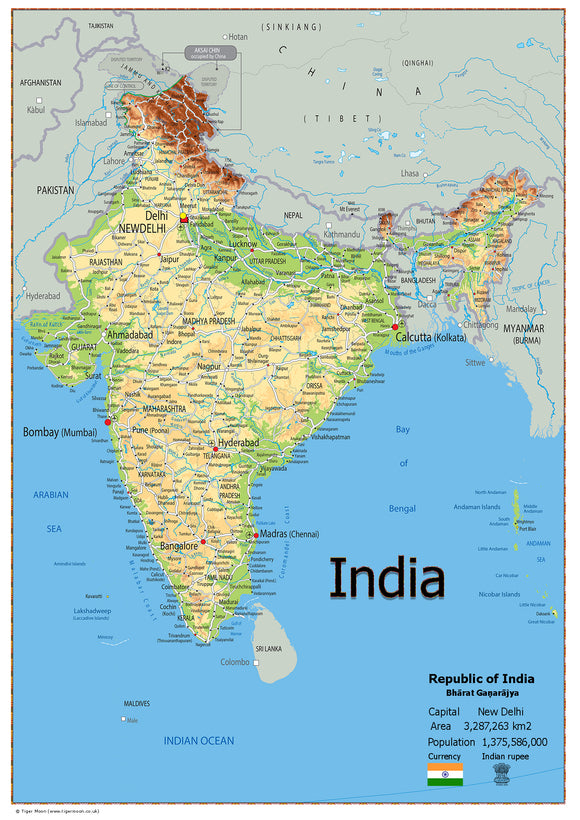
Explore the geography of Congo with this detailed physical map from our Oxford Collection, featuring a clear overview of the country and its key geographical features.
The map includes useful information on:
- Airport locations
- Major highways
- State boundaries
- Towns and cities
- Roads
- Populated areas
- Capital city
- Total area
- Population
Material Options
Laminated:
Printed onto quality paper and finished with a durable gloss laminate, making it suitable for classroom displays, educational settings and regular reference.
Vinyl:
Printed onto heavyweight, durable vinyl with metal eyelets for easy hanging. The vinyl can be rolled up for convenient storage and wiped clean when required.
An ideal educational resource for geography lessons, classrooms, home learning and educational displays, helping students explore the physical and geographical features of Congo.