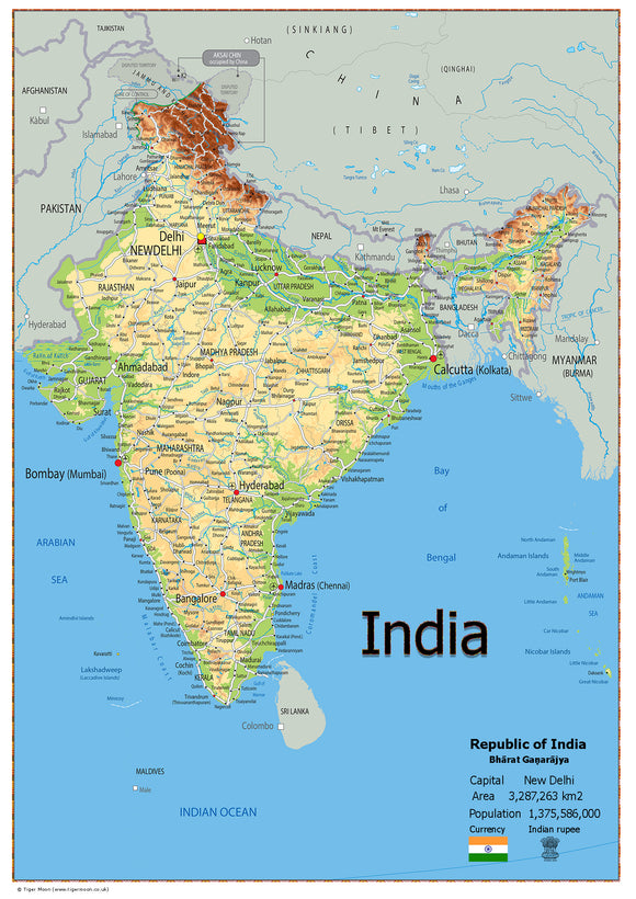
Oxford Collection Map of Zimbabwe – Educational Country Map | Capital, Population, Cities, Highways & Airports | Laminated
Tax included.
Explore the geography of Zimbabwe with our detailed Oxford Collection Map of Zimbabwe, providing an informative overview of the country and its key geographical features.
The map includes useful geographical and statistical information, making it an excellent resource for classrooms, geography lessons, home learning, offices, and educational displays.
Map Features
- Capital city
- Area size
- Population
- Largest city
- Airports
- Major highways
- State boundaries
- Populated areas
- Key geographical locations
Printed onto high-quality paper and finished with a durable gloss laminate, the map is designed for regular use while maintaining a clear and professional appearance.
A useful educational resource for helping students explore and understand the geography, population, transport links, and key locations of Zimbabwe.