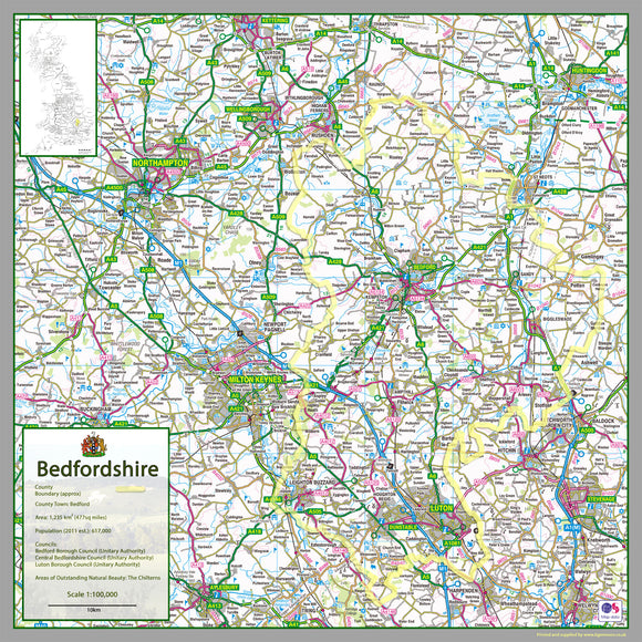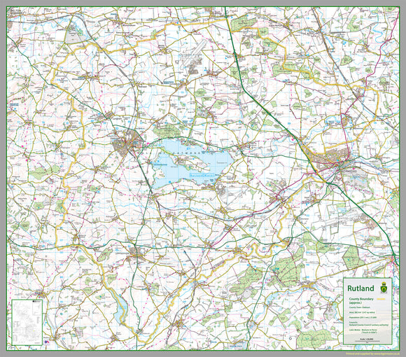


Rutland County Map
Tax included.
1:100,000 detailed map of Rutland, a county in the Midlands of England, UK - the UK's smallest County.
The map covers
- Rutland Water
- Braunston
- Belton
- Cottesmore
- Exton
- Greetham
- Ketton
- Langham
- Lyddington
- Martinsthorpe
- Normanton
- Oakham
- Ryhall
- Casterton
- Uppingham
- Whissendine
165 x 145 cm paper laminated map
The map features the county boundary, town names, roads, railways, land features, water features and tourist information.