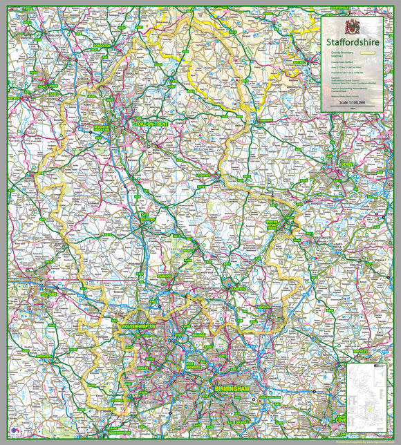


Staffordshire County Map
Tax included.
1:100,000 detailed map of Staffordshire, a county in the Midlands of England, UK.
This map covers the two cities of Stoke-on-Trent & Lichfield and towns:
- Kidsgrove
- Tamworth
- Stafford
- Cannock
- Newcastle-under-Lyme
- Rugeley
and the Districts/Boroughs of:
- Cannock Chase
- Lichfield
- South Staffordshire
- Staffordshire Moorlands
- East Staffordshire
- Newcastle-under-Lyme
- Stafford
- Tamworth
100 x 90 cm paper laminated map
The map features the county boundary, town names, roads, railways, land features, water features and tourist information.