

Postcode Centred Local Area Study Map – Detailed UK Ordnance Survey Street Map | 100 x 100cm Mounted Board
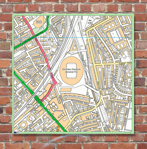
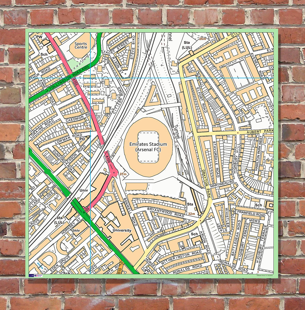
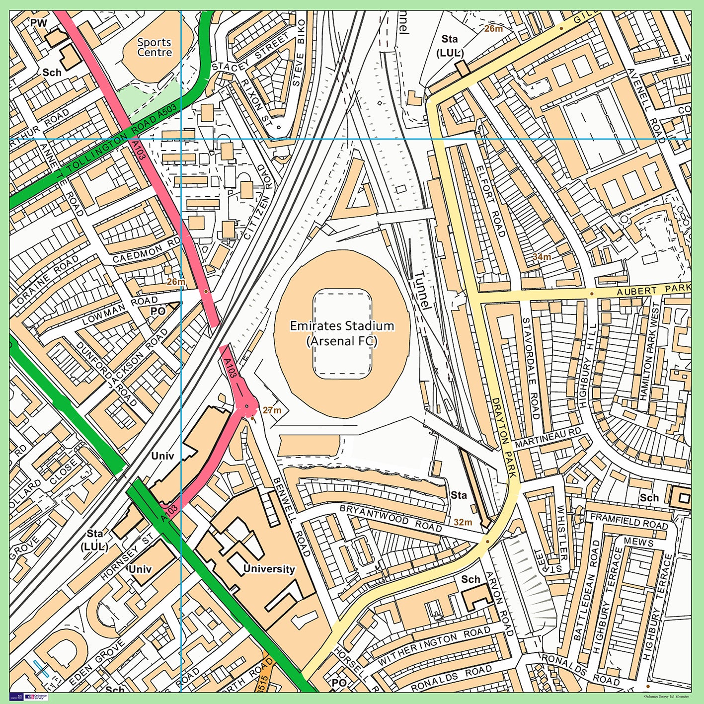
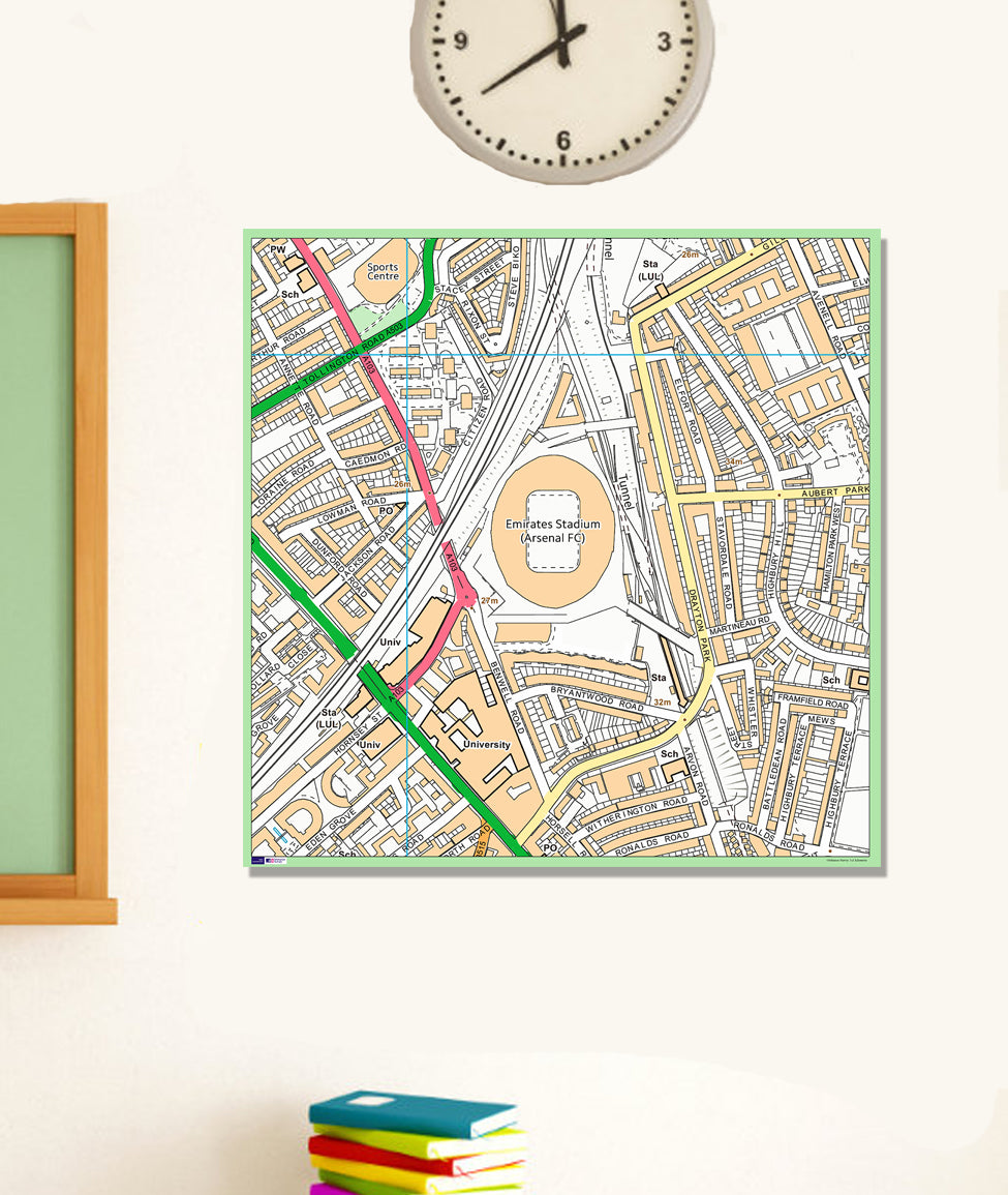
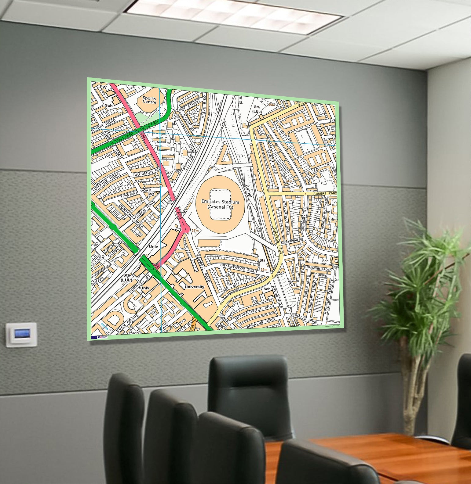
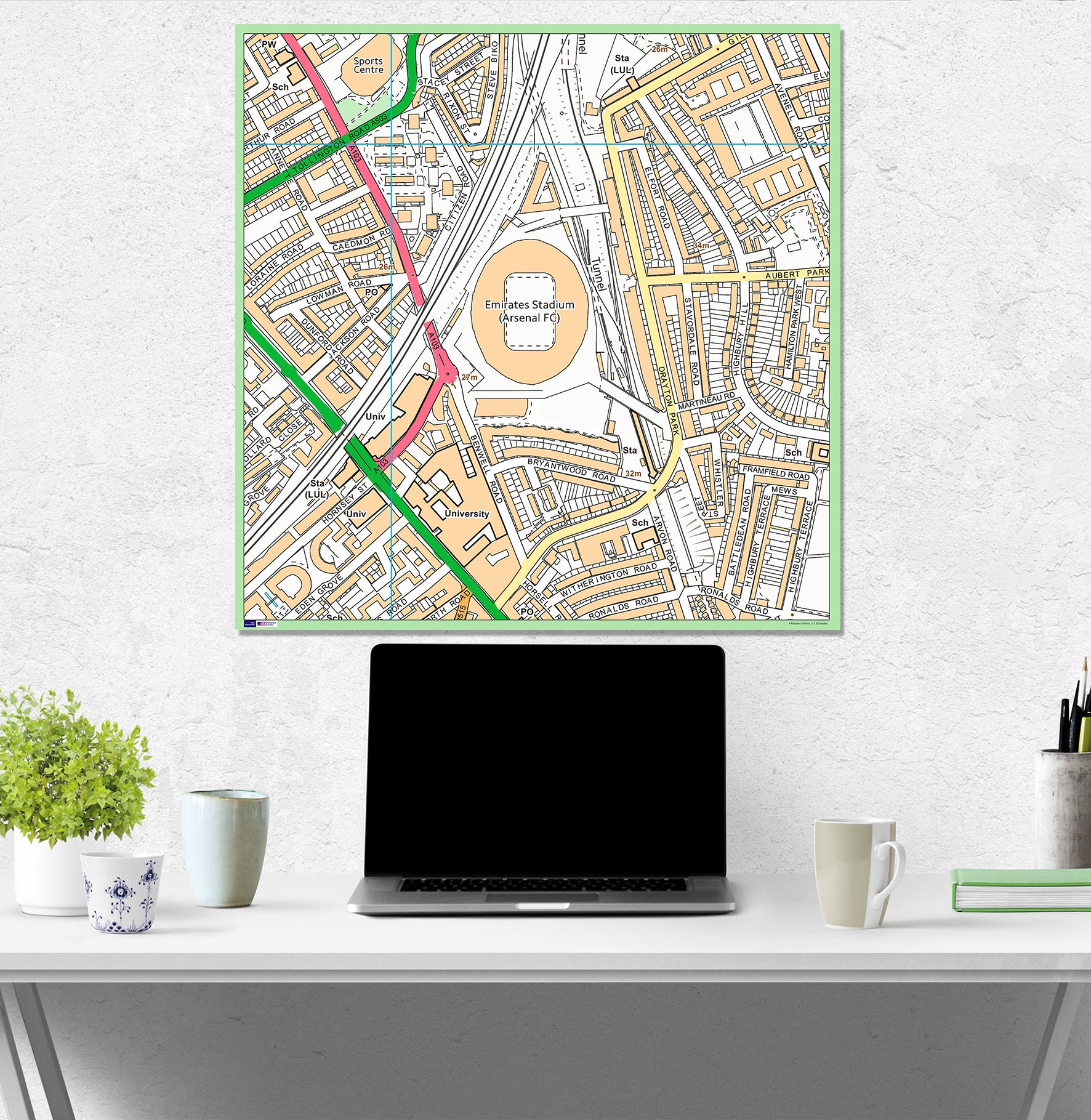
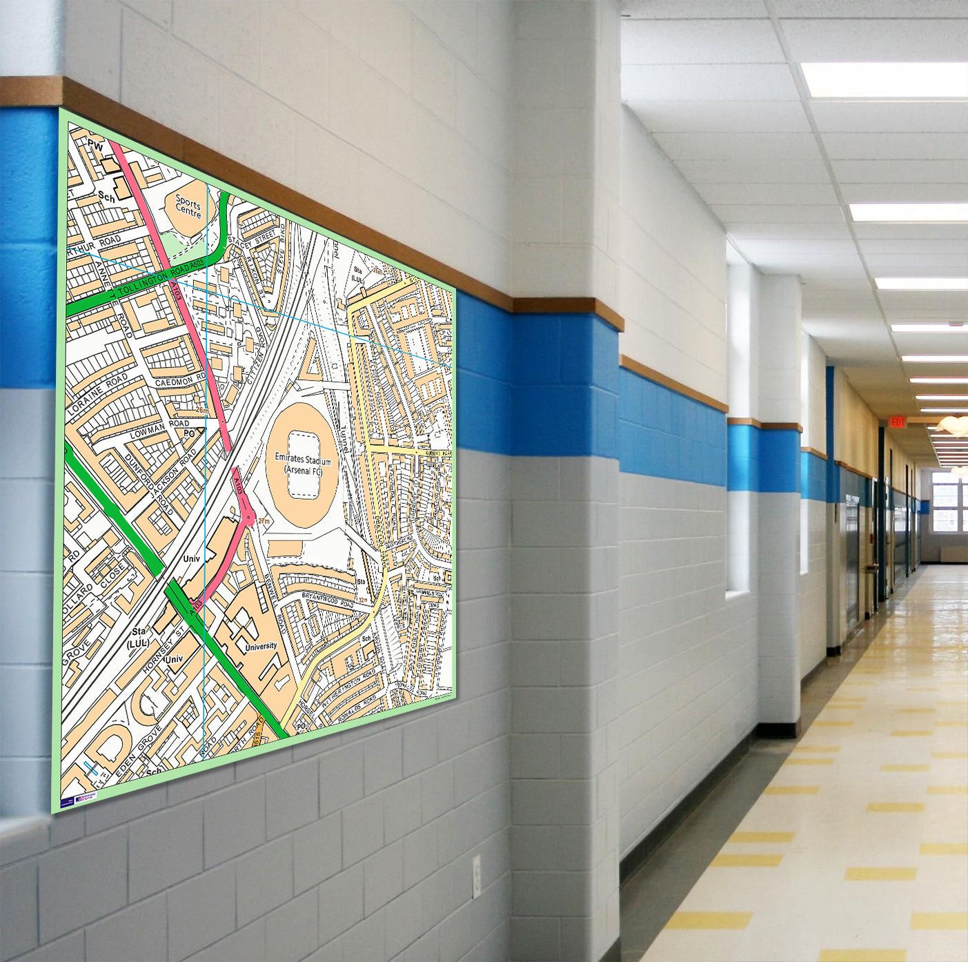
Create a detailed, personalised map centred on any UK postcode with this Postcode Centred Local Area Study Map. Choose your school, local area, football stadium, business, favourite location or another specific place in the United Kingdom to create a highly detailed map for display and study.
The map includes street names, public buildings, schools, parks and other local features, making it an excellent resource for geography lessons, local area studies and classroom displays. It can also be used by businesses as a practical delivery-area or location display, or at home as a unique wall piece centred on a meaningful location.
Product Features
- Postcode Centred Mapping – choose any UK postcode for the centre of your map
- Ordnance Survey Street Map – detailed mapping of the chosen area
- Local Area Study Resource – ideal for teaching children about their local surroundings
- Detailed Street Names – helps identify roads and locations
- Public Buildings & Schools – includes key local features
- Parks & Local Features – detailed mapping of the surrounding area
- Geography Resource – ideal for local area and geographical studies
- School Display – suitable for classrooms, corridors and playgrounds
- Business Display – useful for showing delivery areas and locations
- Home Display – centre the map on a favourite or meaningful location
- Indoor & Outdoor Display – printed using permanent inks suitable for interior and exterior display
- Easy Installation – supplied with 2 metal hangers
Product Details
- Size: 100 x 100 cm
- Map Type: Postcode-centred UK street map
- Mapping: Current 21st Century mapping
- Coverage: Approximately 1km x 1km to 4km x 4km, with variations available
- Centre Point: Any UK postcode
- Suitable for: Schools, classrooms, corridors, playgrounds, businesses, offices and homes
- Uses: Local area studies, geography lessons, business displays, delivery-area planning and decorative wall displays
- Hanging: Supplied with 2 metal hangers
- Please Note: Add the postcode you would like centred on your map in the notes section when ordering
- Handling Time: Mounted board maps require additional handling time of approximately 10 days
Material & Finish
The map is printed directly onto 3mm-thick rigid PVC plastic using permanent inks suitable for both interior and exterior display. The rigid mounted board provides a durable and professional display suitable for educational, business and home environments.