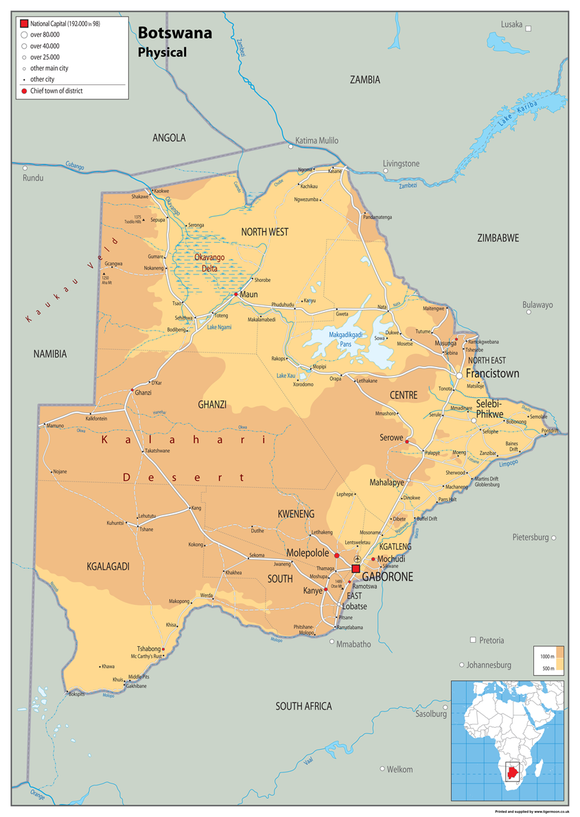


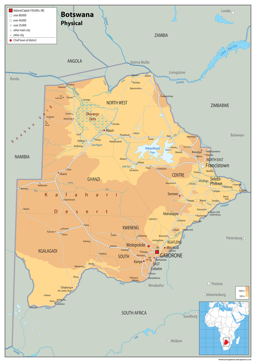
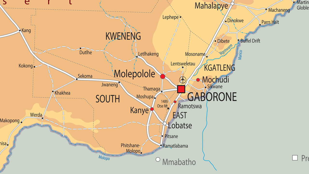
Botswana Physical Map – Physical Features, Landscape & Geographical Studies
Explore the geography of Botswana with this clear and colourful physical map, showing the country's physical features in an easy-to-read format. A useful resource for classrooms, schools and home learning, the map is ideal for geographical studies, teaching and revision. Available in a choice of materials, it can be used as an educational wall display, geographical reference or study resource.
Product Features
- Botswana Physical Map
- Physical Features
- Botswana Geography
- Landscape & Geographical Studies
- Clear & Colourful Design
- Geography Classroom Resource
- Home Learning
- Study & Revision
- Educational Display
- Wall Display or Reference
- Multiple Material Options
- Paper Laminated
- Heavyweight Vinyl
- Mounted Board Option
Product Details
This detailed physical map of Botswana provides an informative overview of the country's physical geography and landscape, making it a practical resource for geographical studies. Suitable for classrooms, schools, geography departments, home learning and educational displays, it provides a clear visual reference for exploring Botswana's physical features.
Material & Finish
Paper Laminated: Printed onto high-quality paper and finished with a durable gloss laminate.
Vinyl: Printed onto hard-wearing, heavyweight vinyl banner material and supplied with metal eyelets in the corners for convenient hanging.
Mounted Board: Printed onto a rigid plastic board using stay-fast, waterproof inks. Supplied with holes and fixings for mounting.
Please note: Mounted maps require additional handling time of approximately 14 days.