


Detailed World Political Map – Countries, Major Cities & Political Geography | A2 Laminated
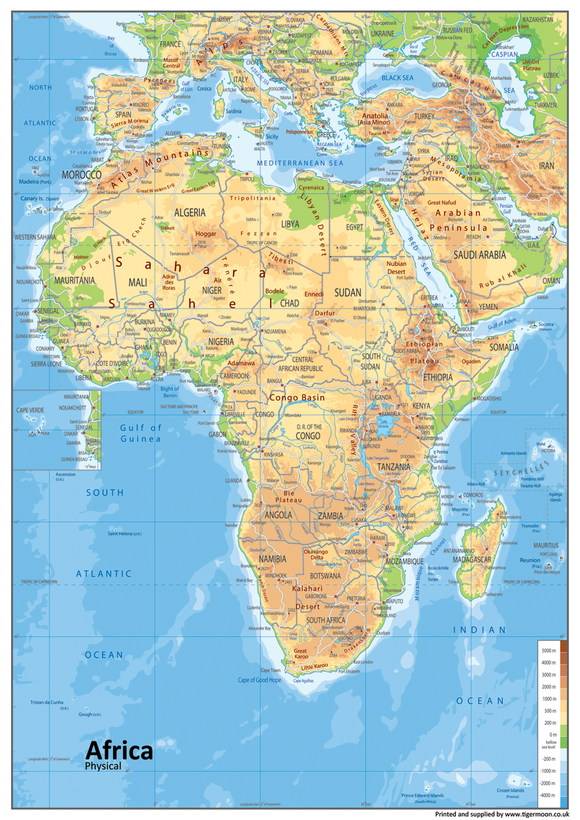
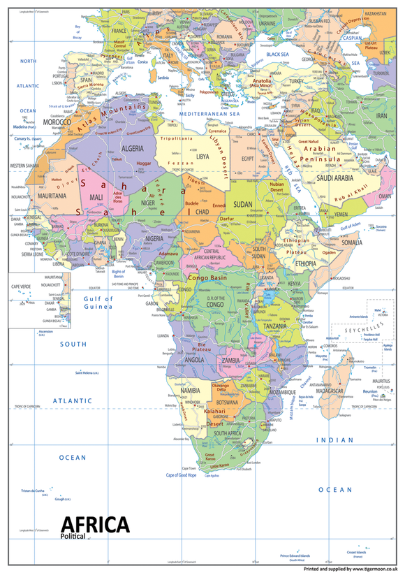
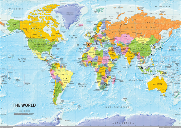
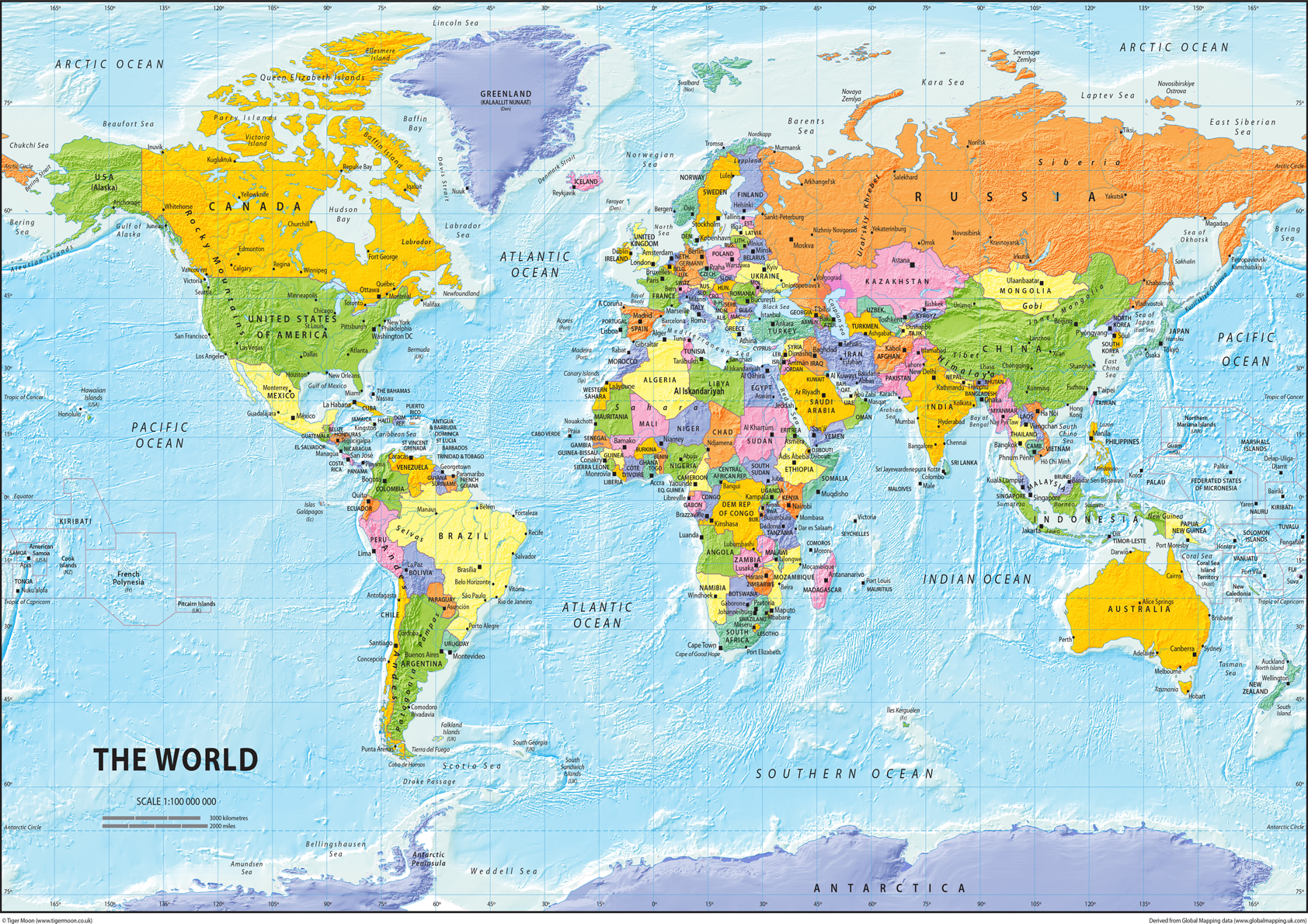
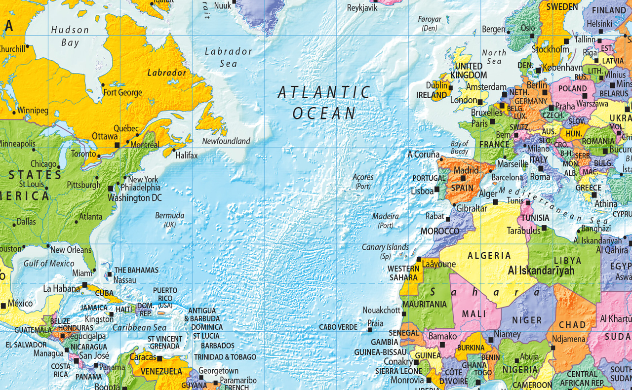
Explore the political geography of the world with this detailed and colourful World Political Map. Featuring country names, major cities and other useful geographical information, it provides a clear visual reference for studying countries and political geography.
At A2 size (42 x 59.4 cm), the map is designed to be easily readable while remaining practical for wall display or desktop study. It is ideal for classrooms, schools, offices, studies and home learning.
Product Features
- Detailed World Political Map – clear overview of global political geography
- Country Names – identifies countries across the world
- Major Cities – includes major cities for geographical reference
- Political Geography – useful for studying countries and international geography
- Clear & Colourful Design – easy to read and suitable for educational display
- A2 World Map – 42 x 59.4 cm for clear viewing
- Classroom Resource – ideal for geography lessons and school displays
- Study & Revision – useful for students learning about world geography
- Wall or Desktop Display – suitable for classroom walls, offices, studies or desks
- Educational Geography Resource – practical reference for learning and teaching
Product Details
This Detailed World Political Map shows the political aspects of the world, including country names, major cities and other geographical information. The clear and colourful design makes it suitable for studying and reference, whether displayed on a wall or used on a desktop. At A2 size (42 x 59.4 cm), the map provides a useful balance between detail and readability.
Material & Finish
Paper Laminated: Printed onto high-quality paper and finished with a durable gloss laminate. The laminated surface helps protect the map during regular handling and display while providing a practical, attractive finish.