UK Teach & Display Map Pack
Make teaching the United Kingdom engaging and accessible with this comprehensive classroom resource pack, designed to support Key Stage 1 geography learning.
Created in line with the curriculum, this pack helps children develop essential location knowledge, enabling them to name, locate, and identify the characteristics of the four countries and capital cities of the UK, as well as understand key geographical features.
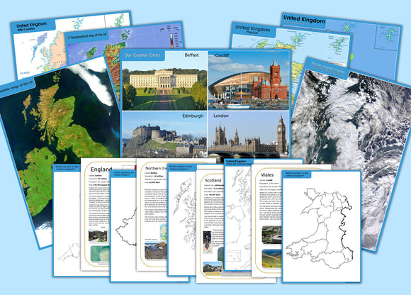
The set includes a variety of visually rich and practical resources to support different learning styles:
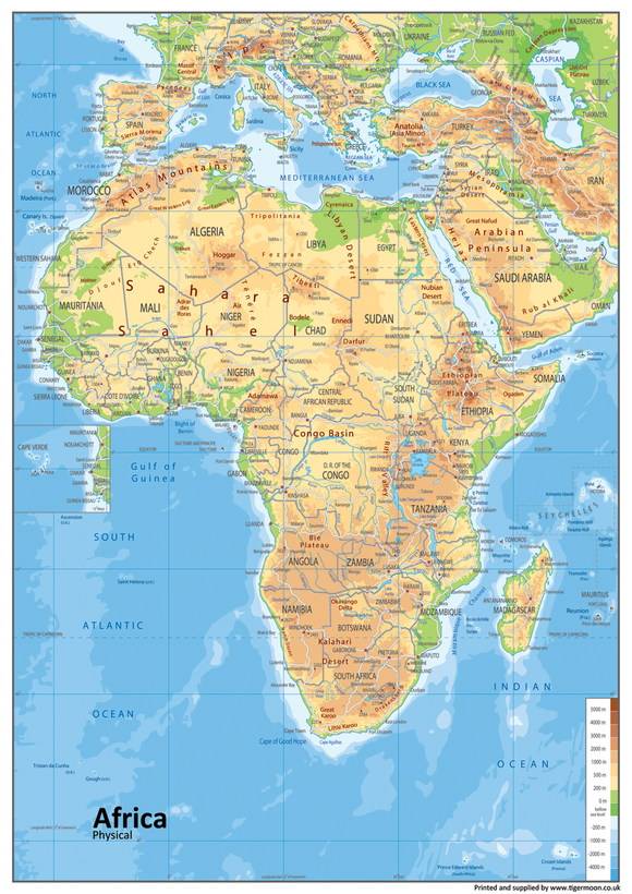
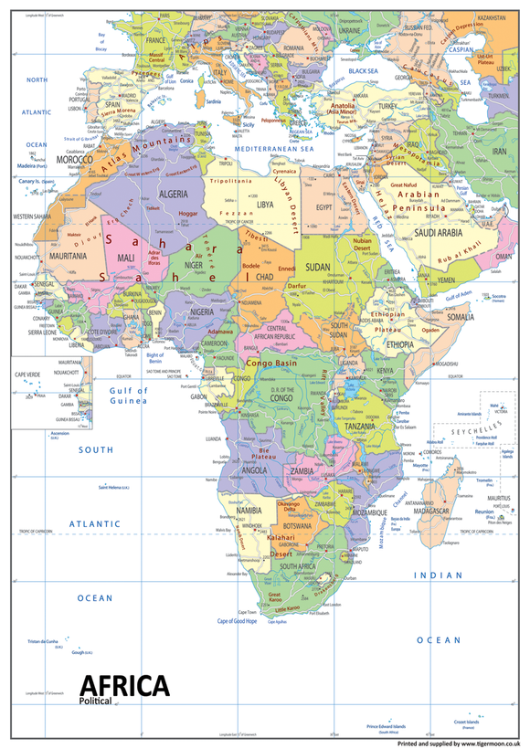
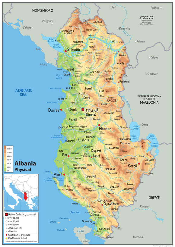
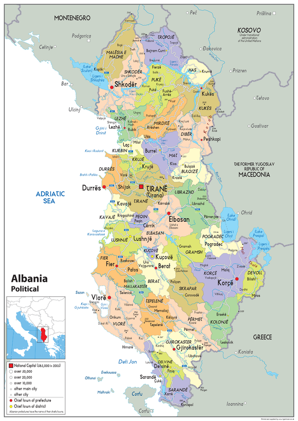
- 7 x A3 maps of the UK, covering physical, political, topographical, snow coverage, rivers, mountains, satellite view, and capital cities
- 4 x A4 outline maps of each individual country
- 1 x A4 outline map of the UK including county borders
- 4 x A4 information sheets, one for each country
The large A3 maps (29.7 x 42 cm) provide clear, detailed visuals that are ideal for classroom display and group learning, while the A4 sheets are perfect for individual or small group activities.
All A3 maps are printed on high-quality paper and laminated for added durability, making them suitable for regular classroom use. The A4 resources are printed on high-quality thick paper, ensuring a professional and long-lasting finish.
An ideal all-in-one teaching resource, this pack supports geography skills, encourages curiosity about the UK, and helps build a strong foundation in early map-reading and location knowledge.