



United Kingdom Road Map – Great Britain & Northern Ireland | Motorways, Major Roads, Cities & Towns | 100 x 70cm Laminated
Tax included.
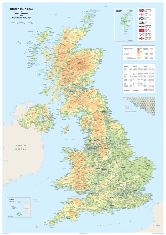
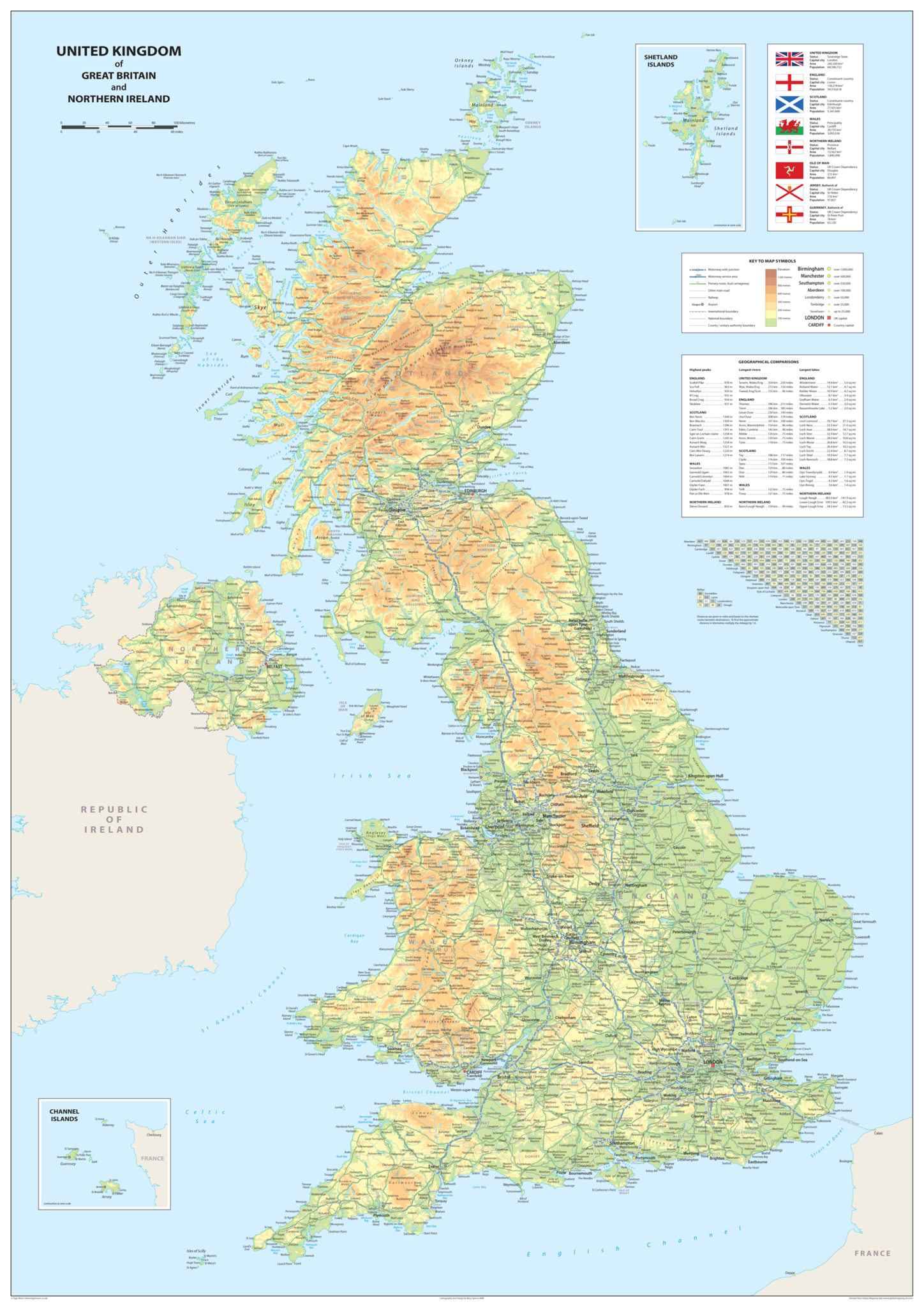
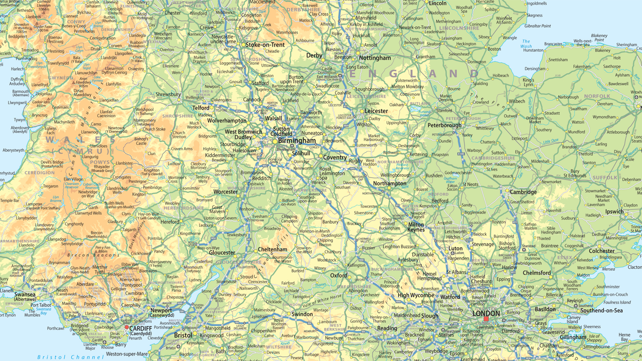
This clear and colourful United Kingdom road map is ideal for classroom walls, desktop use and geography teaching. Featuring attractive pastel shades, the map shows motorways, major roads, cities and towns across the United Kingdom of Great Britain and Northern Ireland.
A useful educational resource for teaching geography topics, exploring the UK and creating informative classroom displays.
Product Features
- United Kingdom Map: Covers the United Kingdom of Great Britain and Northern Ireland.
- Road Map: Shows motorways and major roads for easy reference.
- Cities & Towns: Includes cities and towns across the UK.
- Clear & Colourful Design: Attractive pastel shades provide an easy-to-read educational display.
- Versatile Display: Suitable for wall display or desktop use.
- Geography Resource: Ideal for teaching geography topics and supporting classroom learning.
- Classroom Display: A useful addition to school, nursery and educational environments.
Product Details
- Map: United Kingdom of Great Britain and Northern Ireland
- Size: 100 x 70 cm (approximately)
- Type: Road Map
- Features: Motorways, major roads, cities and towns
- Ideal For: Geography lessons, classrooms, educational displays and desktop reference
Material & Finish
Printed onto high-quality paper and finished with a durable gloss laminate, providing a practical surface suitable for long-term display.