

Netherlands Physical Map – Geographical Features, Cities & Major Roads | Educational Map | Laminated
Tax included.
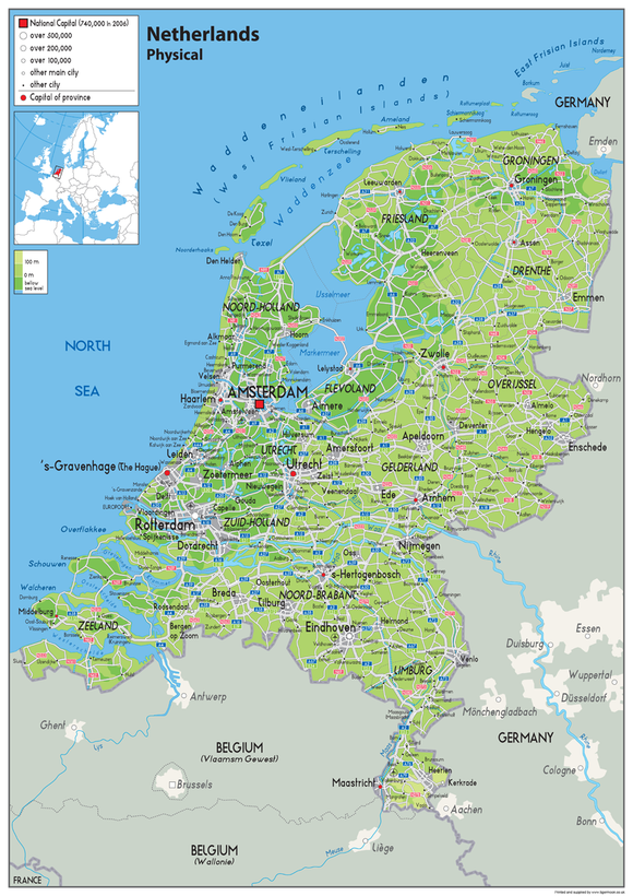
Explore the physical geography of the Netherlands with this clear and colourful educational map, featuring key geographical features, cities and major roads.
Designed as a useful visual reference, the map is ideal for classrooms, schools, offices, study areas, home learning and educational displays. The clear layout makes it easy to explore the country’s physical geography and key locations.
Map Features
- Physical map of the Netherlands
- Key geographical features
- Cities and populated areas
- Major roads
- Clear and colourful design
- Suitable for wall display or desktop study
- Ideal for educational and geographical reference
Product Details
Paper Laminated:
Printed onto quality paper and finished with a durable gloss laminate, providing a long-lasting finish suitable for regular use and display.
A practical educational resource for exploring the physical geography, cities and major road networks of the Netherlands.