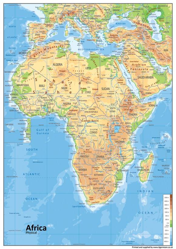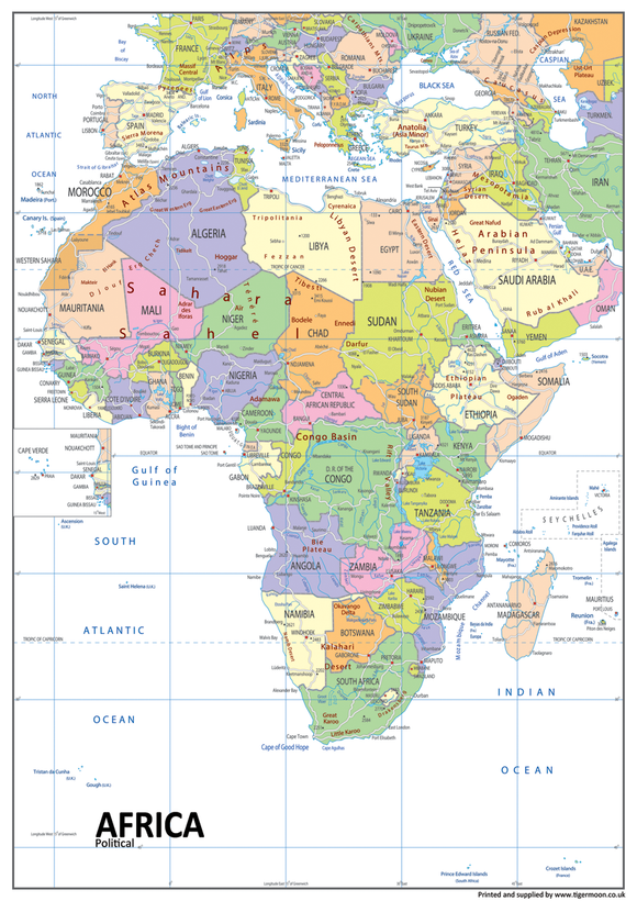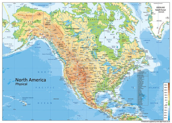


North America is a continent within the Northern Hemisphere and the Western Hemisphere, also seen as the northern subcontinent of the Americas.
It is bordered to the north by the Arctic Ocean, to the east by the Atlantic Ocean, to the southeast by South America and the Caribbean Sea, and to the west and south by the Pacific Ocean. Greenland is included as part of North America geographically, as it is on the North American Tectonic Plate.
North America covers an area of about 24,709,000 square kilometers, about 16.5% of the Earth's land area. North America is the third-largest continent by area, after Asia and Africa. By population, it is the fourth largest after Asia, Africa, and Europe.
The largest urban areas are:
- New York City
- Mexico City
- Los Angeles
- Chicago
- Boston
- Toronto
- Dallas–Fort Worth
- San Francisco Bay Area
- Houston
- Miami
- Philadelphia