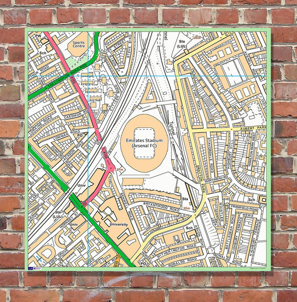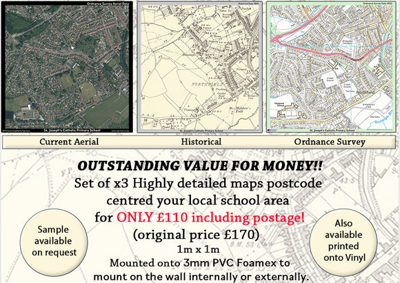


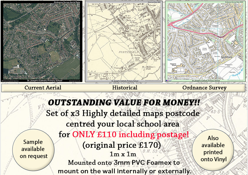
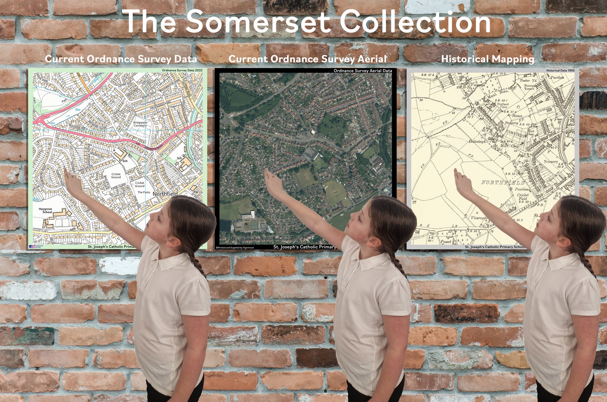
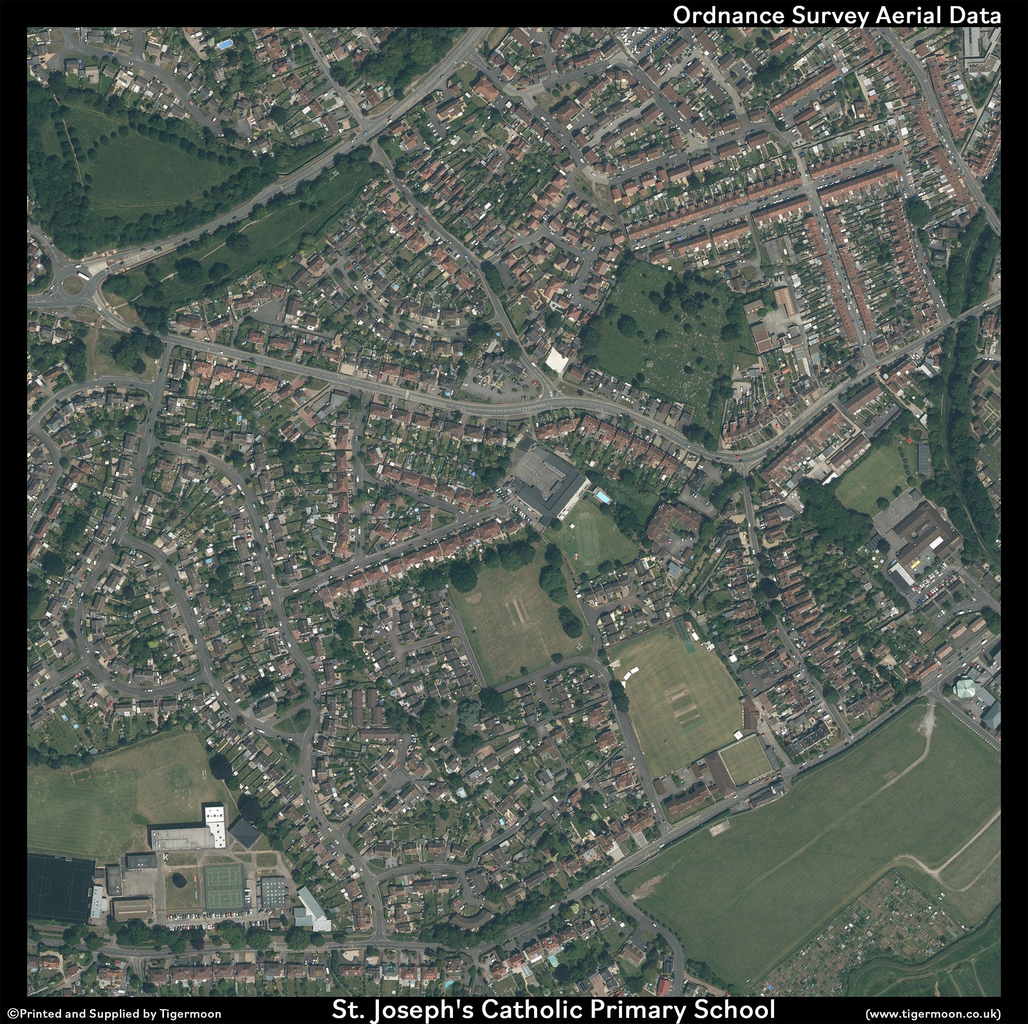
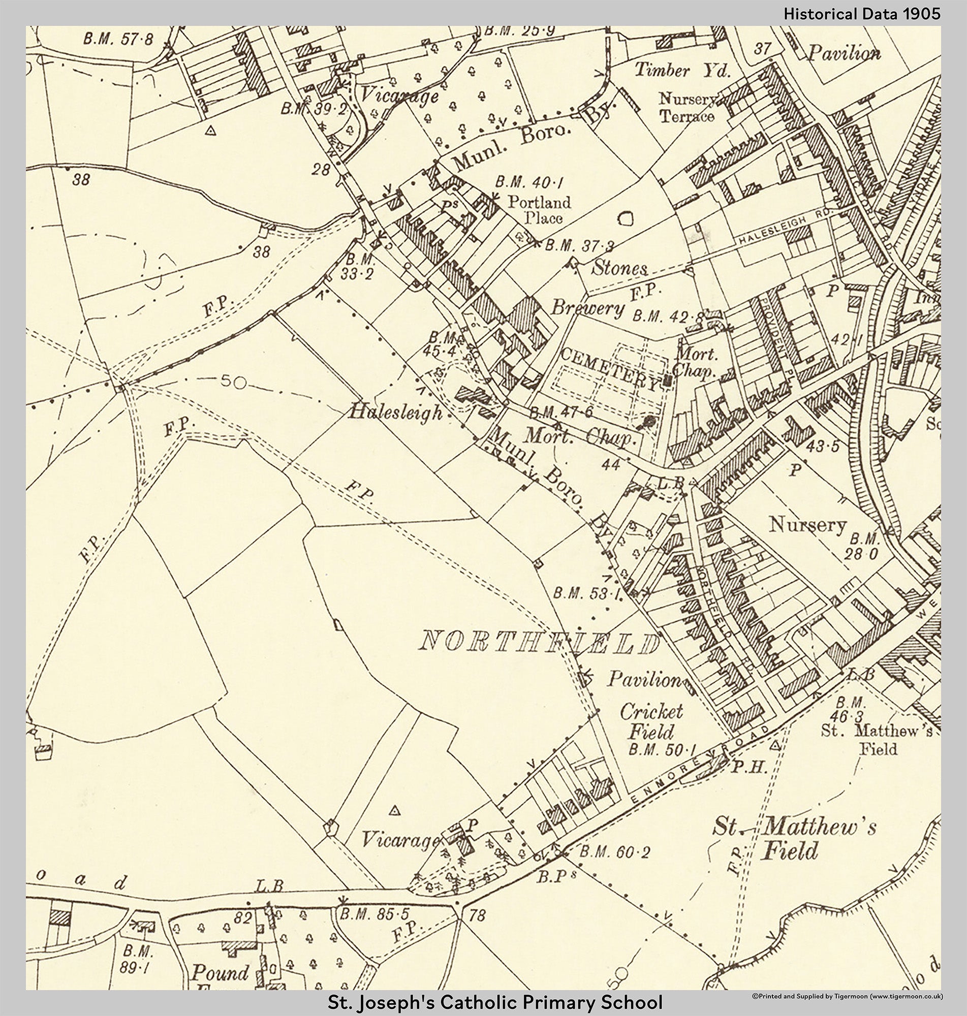
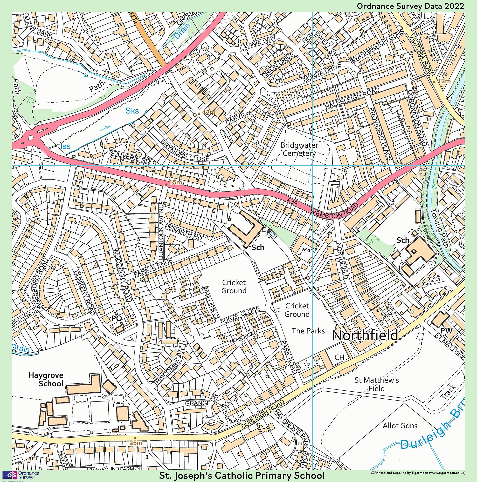
The Somerset Collection - Postcode Centred set of 3 maps. Historical-Aerial-Ordnance Survey.
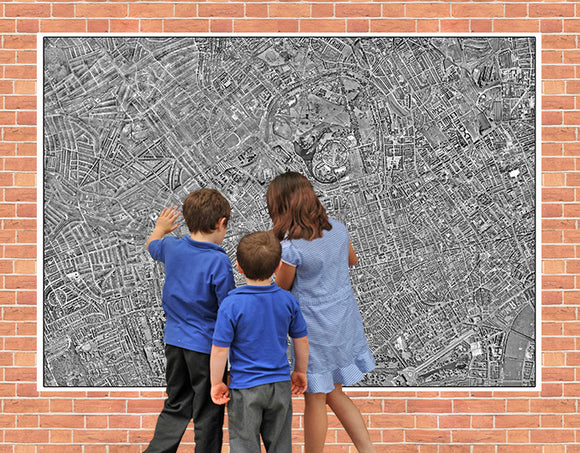
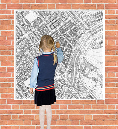
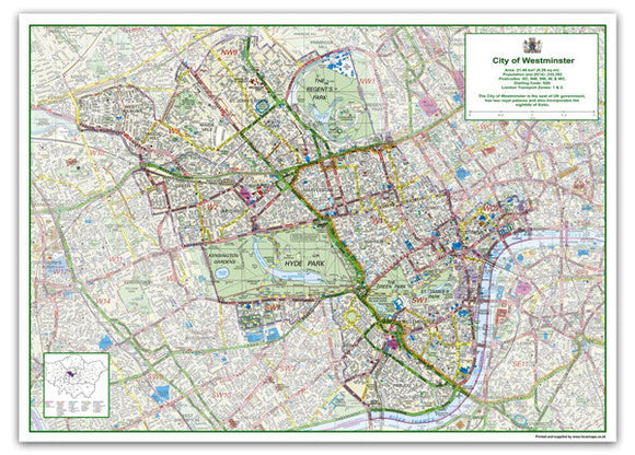
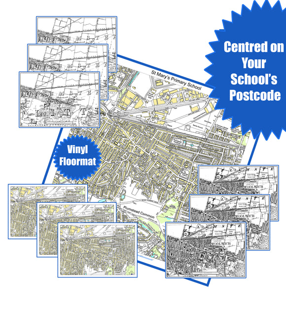
Explore how your local area has changed over time with our Set of 3 Postcode-Centred Maps, featuring Historical Mapping, Ordnance Survey Mapping and Aerial Photography.
This highly detailed map set provides an interesting way to compare your local area and identify changes in roads, buildings, landmarks, and surrounding features. Our postcode-centred maps are available for every school in the UK and show streets and individual properties within the selected area.
Each map measures approximately 1 metre x 1 metre, providing a large, detailed display suitable for classrooms, schools, offices, community spaces, and educational projects.
Choose from two options:
Option 1 – 3mm PVC Foamex
The map is mounted onto durable 3mm PVC Foamex, making it suitable for internal or external wall display.
Option 2 – Durable Vinyl
Printed onto high-quality, durable vinyl, allowing the maps to be easily rolled up and stored in the tube supplied when not in use.
Product Details:
- Set of 3 maps
- Historical Map
- Ordnance Survey Map
- Aerial Photography Map
- Postcode-centred mapping
- Available for every school in the UK
- Includes streets and individual properties within the selected area
- Map size: approximately 1m x 1m
- Choice of mounted PVC Foamex or durable vinyl
- Suitable for educational and display purposes
When ordering: Please email your order number and the postcode you would like the maps centred on to info@tigermoon.co.uk.
Please allow 7–10 working days for production.
Sample available on request.